File:Kakita River and Kano River 20120910.jpg
Jump to navigation
Jump to search
Size of this preview: 800 × 533 pixels. Other resolutions: 320 × 213 pixels | 640 × 427 pixels | 1,024 × 683 pixels | 1,280 × 853 pixels | 1,920 × 1,280 pixels.
Original file (1,920 × 1,280 pixels, file size: 1.64 MB, MIME type: image/jpeg)
Captions
Captions
Add a one-line explanation of what this file represents
| Description | |||
| Date | |||
| Source | Own work | ||
| Author | Batholith | ||
| Permission (Reusing this file) |
|
| Camera location | | View this and other nearby images on: OpenStreetMap |
|---|
| Annotations | This image is annotated: View the annotations at Commons |
File history
Click on a date/time to view the file as it appeared at that time.
| Date/Time | Thumbnail | Dimensions | User | Comment | |
|---|---|---|---|---|---|
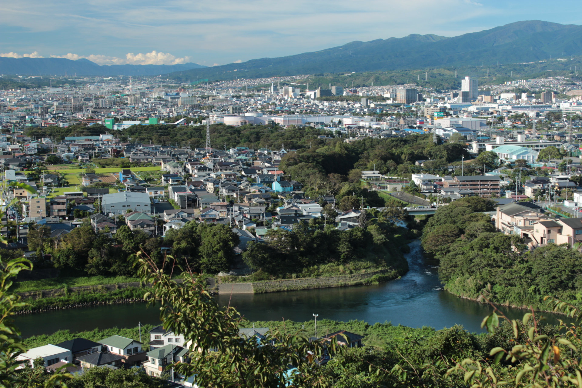
| current | 13:46, 12 September 2012 | | 1,920 × 1,280 (1.64 MB) | Batholith (talk | contribs) | {{Information |Description={{en|The juncture of Kakita river and Kano river.}}{{ja|静岡県清水町を流れる清流柿田川。右手前で狩... |
You cannot overwrite this file.
File usage on Commons
There are no pages that use this file.
File usage on other wikis
The following other wikis use this file:
- Usage on ja.wikipedia.org