File:Kansai International Airport Aerial photograph.2007.jpg
Jump to navigation
Jump to search

Size of this preview: 800 × 588 pixels. Other resolutions: 320 × 235 pixels | 640 × 471 pixels | 1,024 × 753 pixels | 1,280 × 941 pixels | 2,560 × 1,882 pixels | 5,000 × 3,676 pixels.
Original file (5,000 × 3,676 pixels, file size: 3.81 MB, MIME type: image/jpeg)
Captions
Captions
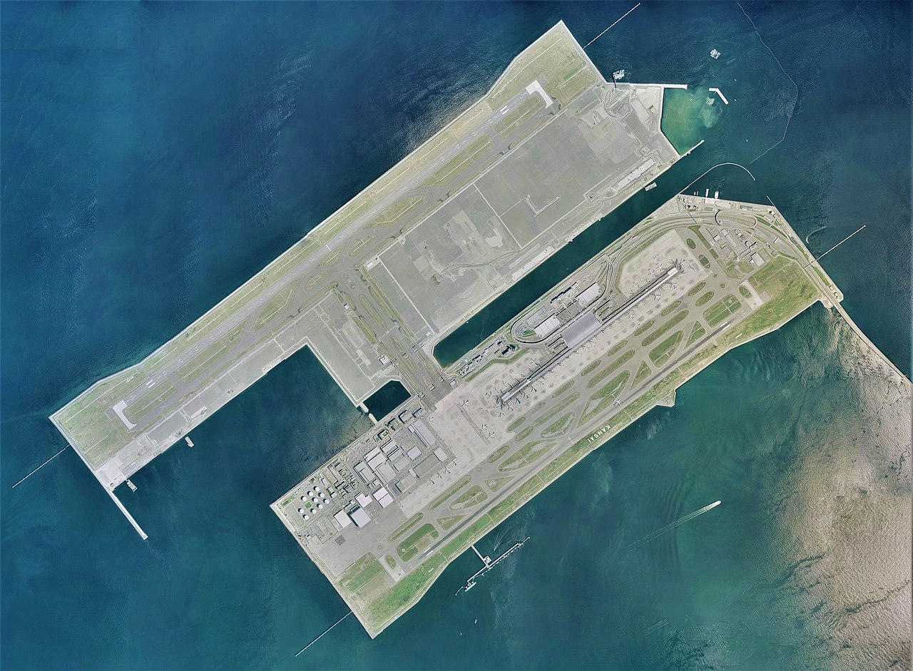
Kansai International Airport Aerial photograph.2007
Summary
[edit]
| Description |
日本語: 関西国際空港の空中写真。CKK20071-C70-1からCKK20071-C70-6、CKK20071-C71-1からCKK20071-C71-7、CKK20071-C72-1からCKK20071-C72-8、CKK20071-C73-1からCKK20071-C73-8、CKK20071-C74-1からCKK20071-C74-8の合計37枚を合成作成。
English: Kansai International Airport Aerial photograph.2007 |
| Date | |
| Source | 国土情報ウェブマッピングシステム |
| Author | 国土地理院 |
Licensing
[edit]

|
The copyright holder of this file, the Ministry of Land, Infrastructure, Transport and Tourism of Japan, allows anyone to use it for any purpose, provided that the copyright holder is properly attributed. Redistribution, derivative work, commercial use, and all other use is permitted. |
Attribution:
Copyright © National Land Image Information (Color Aerial Photographs), Ministry of Land, Infrastructure, Transport and Tourism
|
 |
This image is copyrighted by the Ministry of Land, Infrastructure, Transport and Tourism of Japan. For terms of use, see the stipulation to use of National Land Information (in Japanese) and message from MLIT (in Japanese and English). When you display this image on an article, include the following phrase in the description: "Made based on National Land Image Information (Color Aerial Photographs), Ministry of Land, Infrastructure, Transport and Tourism".
|
File history
Click on a date/time to view the file as it appeared at that time.
| Date/Time | Thumbnail | Dimensions | User | Comment | |
|---|---|---|---|---|---|
| current | 02:23, 6 December 2020 | | 5,000 × 3,676 (3.81 MB) | さかおり (talk | contribs) | Uploaded a work by 国土地理院 from 国土情報ウェブマッピングシステム with UploadWizard |
You cannot overwrite this file.
File usage on Commons
There are no pages that use this file.
File usage on other wikis
The following other wikis use this file:
- Usage on de.wikipedia.org
- Usage on en.wikipedia.org
- Usage on es.wikipedia.org
- Usage on ja.wikipedia.org