File:Karta över Norden - Kungliga Biblioteket - 10397840.tif
Jump to navigation
Jump to search

Size of this JPG preview of this TIF file: 764 × 599 pixels. Other resolutions: 306 × 240 pixels | 612 × 480 pixels | 979 × 768 pixels | 1,280 × 1,004 pixels | 2,560 × 2,009 pixels | 9,117 × 7,153 pixels.

Original file (9,117 × 7,153 pixels, file size: 373.19 MB, MIME type: image/tiff, 2 pages)
Captions
Captions
Add a one-line explanation of what this file represents
| Title |
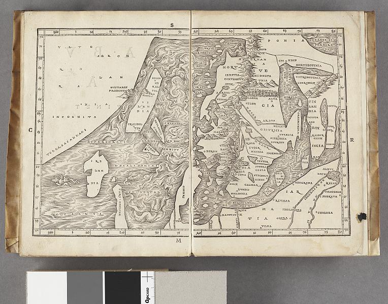
Karta över Norden |
||||||||||||||||||||||||||
| Description |
Svenska: Schematisk topografi som visar höjder. - Orter utsatta. - Visar Skandinaviska halvöns utsträckning från norr till söder med Bottenhavet och Bottenviken |
||||||||||||||||||||||||||
| Source |
|
||||||||||||||||||||||||||
| Creator |
Jakob Ziegler (1480-1549; creator, cartographer) |
||||||||||||||||||||||||||
| Permission (Reusing this file) |
Per the source the digitisations are under
|
||||||||||||||||||||||||||
| Geotemporal data | |||||||||||||||||||||||||||
| Date depicted | 16th century | ||||||||||||||||||||||||||
| Map location |
Svenska: Norden |
||||||||||||||||||||||||||
| Scale | 1:9,260,000 | ||||||||||||||||||||||||||
| Bounding box |
|
||||||||||||||||||||||||||
| Georeferencing | If inappropriate please set warp_status = skip to hide. | ||||||||||||||||||||||||||
| Bibliographic data | |||||||||||||||||||||||||||
| Map sheet | 1 karta | ||||||||||||||||||||||||||
| Language | Latin | ||||||||||||||||||||||||||
| Publisher |
Unknown, France |
||||||||||||||||||||||||||
| Archival data | |||||||||||||||||||||||||||
| Collection |
|
||||||||||||||||||||||||||
| Accession number |
10397840 |
||||||||||||||||||||||||||
| Dimensions | 22 x 34 cm | ||||||||||||||||||||||||||
| Medium | träsnitt | ||||||||||||||||||||||||||
| Notes |
Av Jakob Ziegler
|
||||||||||||||||||||||||||
| Other versions |
 |
||||||||||||||||||||||||||

File history
Click on a date/time to view the file as it appeared at that time.
| Date/Time | Thumbnail | Dimensions | User | Comment | |
|---|---|---|---|---|---|
| current | 21:26, 20 January 2015 |  | 9,117 × 7,153, 2 pages (373.19 MB) | L PBot (talk | contribs) | {{subst:User:André_Costa_(WMSE)/KB-map |title = Karta över Norden |description = {{sv|Schematisk topografi som visar höjder. - Orter utsatta. - Visar Skandinaviska halvöns utsträckning från norr till söder med Bottenhavet och Bot... |
You cannot overwrite this file.
File usage on Commons
The following 3 pages use this file: