File:Karte Triest.png
跳至導覽
跳至搜尋

預覽大小:411 × 600 像素。 其他解析度:164 × 240 像素 | 548 × 800 像素。
原始檔案 (548 × 800 像素,檔案大小:502 KB,MIME 類型:image/png)
說明
說明
添加單行說明來描述出檔案所代表的內容
Fotowerkstatt
This map was reworked by the Fotowerkstatt. You can propose images to improve as well.
Blowed up and sharpened by -- AM 16:43, 15 August 2006 (UTC)
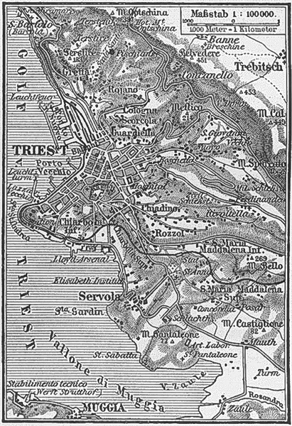
| This image comes from the 4th edition of Meyers Konversationslexikon (1885–90). The copyrights have expired and this image is in the public domain. |
|
本作品在其來源國以及其他版權期限是作者逝世後100年或以下的國家與地區屬於公有領域。 | |
| 此作品無已知的著作權限制,亦不受所有相關和鄰接的權利限制。 | |
檔案歷史
點選日期/時間以檢視該時間的檔案版本。
| 日期/時間 | 縮圖 | 尺寸 | 用戶 | 備註 | |
|---|---|---|---|---|---|
| 目前 | 2006年8月15日 (二) 16:41 | | 548 × 800(502 KB) | AlMare(對話 | 貢獻) | {{PD-Meyers}} Category:Old maps of Italy |
| 2004年12月12日 (日) 18:12 |  | 373 × 545(83 KB) | ¡0-8-15!(對話 | 貢獻) | {{PD-Meyers}} |
無法覆蓋此檔案。
檔案用途
下列6個頁面有用到此檔案:
全域檔案使用狀況
以下其他 wiki 使用了這個檔案:
- ar.wikipedia.org 的使用狀況
- azb.wikipedia.org 的使用狀況
- cs.wikipedia.org 的使用狀況
- de.wikipedia.org 的使用狀況
- he.wikipedia.org 的使用狀況
- hu.wikipedia.org 的使用狀況
- it.wikipedia.org 的使用狀況
- nn.wikipedia.org 的使用狀況
- no.wikipedia.org 的使用狀況
- pt.wikipedia.org 的使用狀況
- uk.wikipedia.org 的使用狀況
- zh.wikipedia.org 的使用狀況