File:Kasteelvijvers horst - panoramio.jpg
Jump to navigation
Jump to search

Size of this preview: 800 × 576 pixels. Other resolutions: 320 × 230 pixels | 640 × 461 pixels | 1,024 × 738 pixels | 1,280 × 922 pixels | 2,560 × 1,844 pixels | 3,804 × 2,740 pixels.
Original file (3,804 × 2,740 pixels, file size: 1.18 MB, MIME type: image/jpeg)
Captions
Captions
Add a one-line explanation of what this file represents
Summary
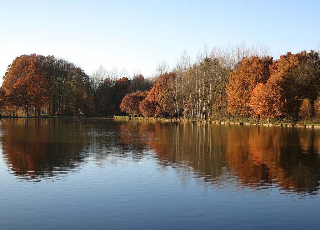
[edit]| Description | Kasteelvijvers horst | ||
| Date | Taken on 14 November 2012 | ||
| Source | https://web.archive.org/web/20161024221404/http://www.panoramio.com/photo/82224007 | ||
| Author | Geert Budenaerts | ||
| Permission (Reusing this file) |
This file is licensed under the Creative Commons Attribution 3.0 Unported license. Attribution: Geert Budenaerts
|
||
| Tags (from Panoramio photo page) | Holsbeek, 2012, Belgium, België, Holsbeek, Landschap, landschap, natuur, Vlaams Gewest |
| Camera location | | View this and other nearby images on: OpenStreetMap |
|---|

File history
Click on a date/time to view the file as it appeared at that time.
| Date/Time | Thumbnail | Dimensions | User | Comment | |
|---|---|---|---|---|---|
| current | 07:03, 26 January 2017 | | 3,804 × 2,740 (1.18 MB) | Panoramio upload bot (talk | contribs) | == {{int:filedesc}} == {{Information |description=Kasteelvijvers horst |date={{Taken on|2012-11-14}} |source=http://www.panoramio.com/photo/82224007 |author=[http://www.panoramio.com/user/6421097?with_photo_id=82224007 Geert Budenaerts] |permission={{c... |
You cannot overwrite this file.
File usage on Commons
There are no pages that use this file.