File:Katzsohlteich (3940).jpg
![File:Katzsohlteich (3940).jpg](https://upload.wikimedia.org/wikipedia/commons/thumb/4/43/Katzsohlteich_%283940%29.jpg/544px-Katzsohlteich_%283940%29.jpg?20111114182956)
Original file (1,828 × 2,015 pixels, file size: 1.81 MB, MIME type: image/jpeg)
Captions
Captions
DescriptionKatzsohlteich (3940).jpg |
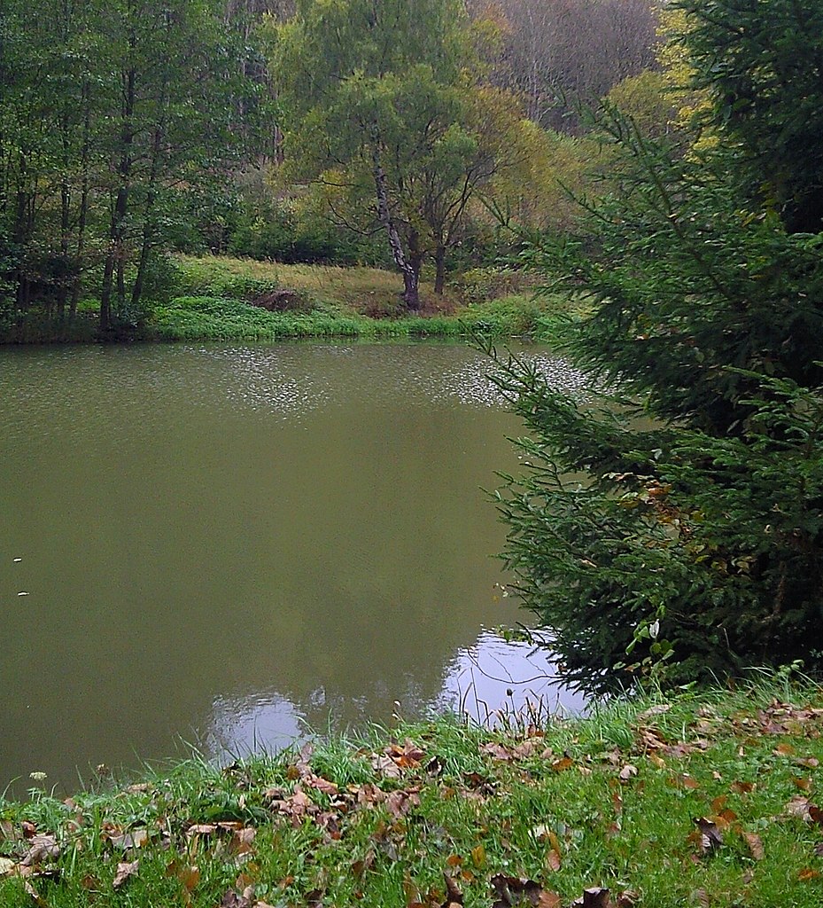
Deutsch: Katzsohlteich - Blick über den Teich |
|||||||||
Date | ||||||||||
Source | Own work | |||||||||
Author | Sarkana | |||||||||
Permission (Reusing this file) |
Alternativ ist auch die Verwendung einer der folgenden Lizenzen möglich:
To provide attribution, credit the author as the uploader's username with a link to his userpage.
|
Camera location | 51° 38′ 10.06″ N, 10° 58′ 09.15″ E ![]() | View this and other nearby images on: OpenStreetMap | ![]() |
---|
File history
Click on a date/time to view the file as it appeared at that time.
Date/Time | Thumbnail | Dimensions | User | Comment | |
---|---|---|---|---|---|
current | 18:29, 14 November 2011 | ![]() | 1,828 × 2,015 (1.81 MB) | Sarkana (talk | contribs) | {{Information |Description={{de|Katzsohlteich - Blick über den Teich}} |Source={{own}} |Date=2011:10:19 |Author=Sarkana |Permission={{User:Sarkana/vorlage:Lizenz}} |other_versions= }} Category:Katzsohlteich |
You cannot overwrite this file.
File usage on Commons
There are no pages that use this file.
File usage on other wikis
The following other wikis use this file:
- Usage on de.wikipedia.org
- Usage on fr.wikipedia.org
Metadata
This file contains additional information such as Exif metadata which may have been added by the digital camera, scanner, or software program used to create or digitize it. If the file has been modified from its original state, some details such as the timestamp may not fully reflect those of the original file. The timestamp is only as accurate as the clock in the camera, and it may be completely wrong.
Camera manufacturer | SAMSUNG |
---|---|
Camera model | GT-S7350i |
F-number | f/2.7998046875 |
ISO speed rating | 50 |
Date and time of data generation | 12:39, 19 October 2011 |
Latitude | 51° 38′ 10.06″ N |
Longitude | 10° 58′ 9.15″ E |
Altitude | 83 meters above sea level |
Orientation | Normal |
Horizontal resolution | 72 dpi |
Vertical resolution | 72 dpi |
Software used | fw6b.0bprm33.35 |
Y and C positioning | Centered |
Exposure Program | Aperture priority |
Exif version | 2.2 |
Date and time of digitizing | 12:39, 19 October 2011 |
Meaning of each component |
|
APEX shutter speed | 7.0595703125 |
Maximum land aperture | 2.7998046875 APEX (f/2.64) |
Metering mode | Multi-Spot |
Flash | Flash did not fire |
Color space | sRGB |
Exposure index | 0.00390625 |
File source | Digital still camera |
Scene type | A directly photographed image |
Custom image processing | Custom process |
Exposure mode | Auto exposure |
White balance | Auto white balance |
Digital zoom ratio | 0 |
Scene capture type | Standard |
Contrast | Normal |
Saturation | High saturation |
Sharpness | Hard |
GPS time (atomic clock) | 10:38 |
Geodetic survey data used | WGS-84 |
GPS date | 19 October 2011 |
GPS tag version | 2.2.0.0 |