File:Kazlų Rūdos savivaldybė.svg
Jump to navigation
Jump to search

Size of this PNG preview of this SVG file: 444 × 600 pixels. Other resolutions: 177 × 240 pixels | 355 × 480 pixels | 568 × 768 pixels | 758 × 1,024 pixels | 1,516 × 2,048 pixels | 726 × 981 pixels.
Original file (SVG file, nominally 726 × 981 pixels, file size: 271 KB)
Captions
Captions
Add a one-line explanation of what this file represents
Summary[edit]
| Description |
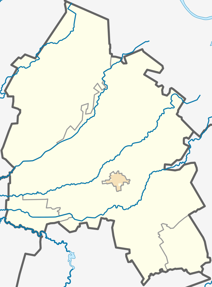
English: Location map of Kazlų Rūda Municipality, Lithuania
Lietuvių: Kazlų Rūdos savivaldybės lokacinis žemėlapis |
| Date | |
| Source | Own work. The map was created using OpenStreetMap data. |
| Author | Obivan Kenobi |
| SVG development |
Licensing[edit]
I, the copyright holder of this work, hereby publish it under the following license:
| This file is made available under the Creative Commons CC0 1.0 Universal Public Domain Dedication. | |
| The person who associated a work with this deed has dedicated the work to the public domain by waiving all of their rights to the work worldwide under copyright law, including all related and neighboring rights, to the extent allowed by law. You can copy, modify, distribute and perform the work, even for commercial purposes, all without asking permission.
|
File history
Click on a date/time to view the file as it appeared at that time.
| Date/Time | Thumbnail | Dimensions | User | Comment | |
|---|---|---|---|---|---|
| current | 18:22, 29 December 2021 | | 726 × 981 (271 KB) | Obivan Kenobi (talk | contribs) | Uploaded own work with UploadWizard |
You cannot overwrite this file.
File usage on Commons
There are no pages that use this file.
File usage on other wikis
The following other wikis use this file:
- Usage on fr.wikipedia.org
- Usage on lt.wikipedia.org
- Kazlų Rūdos savivaldybė
- Jankai
- Plutiškės
- Antanavas
- Ąžuolų Būda
- Bagotoji
- Bebruliškė
- Būda
- Katinai (Kazlų Rūda)
- Višakio Rūda
- Nemirai
- Jūrė (kaimas)
- Jūrė
- Kvietiškis (Kazlų Rūda)
- Gudeliai (Kazlų Rūda)
- Subačiškės
- Sasnava (Kazlų Rūda)
- Tabariškės (Kazlų Rūda)
- Toliejai (Kazlų Rūda)
- Meškučiai (Kazlų Rūda)
- Būdvietis (Jankai)
- Būdvietis I (Kazlų Rūda)
- Būdvietis II (Kazlų Rūda)
- Egliniškis
- Gulioniškė
- Karčrūdė
- Didžiosios Zariškės
- Kazlai I
- Šablonas:Location map Kazlų Rūdos savivaldybė
- Selema
- Agurkiškė
- Griešiai
- Sarapinai
- Garankščiai
- Guobai
- Kazliškiai (Kazlų Rūda)
- Griešių piliakalnis
- Pašilupiai
- Degučiai (Kazlų Rūda)
- Klevinkalnis (Kazlų Rūda)
- Alksniškės (Kazlų Rūda)
- Ardzijauskai
- Armališkės (Kazlų Rūda)
- Audiejiškė
- Aukštoji Išdaga
- Baganskai
- Baltreliškės
- Bartininkai (Kazlų Rūda)
- Berštupis
View more global usage of this file.