File:Kings Canyon National Park - 51724059358.jpg

Original file (3,000 × 2,259 pixels, file size: 7.99 MB, MIME type: image/jpeg)
Captions
Captions
Summary[edit]
| Description |
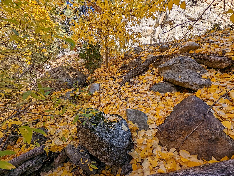
English: Kings Canyon National Park is an American national park in the southern Sierra Nevada, in Fresno and Tulare Counties, California. Originally established in 1890 as General Grant National Park, the park was greatly expanded and renamed to Kings Canyon National Park on March 4, 1940. The park's namesake, Kings Canyon, is a rugged glacier-carved valley more than a mile (1,600 m) deep. Other natural features include multiple 14,000-foot (4,300 m) peaks, high mountain meadows, swift-flowing rivers, and some of the world's largest stands of giant sequoia trees. Kings Canyon is north of and contiguous with Sequoia National Park, and both parks are jointly administered by the National Park Service as the Sequoia and Kings Canyon National Parks.
The majority of the 461,901-acre (186,925 ha) park, drained by the Middle and South Forks of the Kings River and many smaller streams, is designated wilderness. Tourist facilities are concentrated in two areas: Grant Grove, home to General Grant (the second largest tree in the world, measured by trunk volume) and Cedar Grove, located in the heart of Kings Canyon. Overnight hiking is required to access most of the park's backcountry, or high country, which for much of the year is covered in deep snow. The combined Pacific Crest Trail/John Muir Trail, a backpacking route, traverses the entire length of the park from north to south. General Grant National Park was initially created to protect a small area of giant sequoias from logging. Although John Muir's visits brought public attention to the huge wilderness area to the east, it took more than fifty years for the rest of Kings Canyon to be designated a national park. Environmental groups, park visitors and many local politicians wanted to see the area preserved; however, development interests wanted to build hydroelectric dams in the canyon. Even after President Franklin D. Roosevelt expanded the park in 1940, the fight continued until 1965, when the Cedar Grove and Tehipite Valley dam sites were finally annexed into the park. |
| Date | |
| Source | https://www.flickr.com/photos/21874566@N07/51724059358/ |
| Author | RuggyBearLA |
| Camera location | | View this and other nearby images on: OpenStreetMap |
|---|
Licensing[edit]
- You are free:
- to share – to copy, distribute and transmit the work
- to remix – to adapt the work
- Under the following conditions:
- attribution – You must give appropriate credit, provide a link to the license, and indicate if changes were made. You may do so in any reasonable manner, but not in any way that suggests the licensor endorses you or your use.
| This image was originally posted to Flickr by RuggyBearLA at https://flickr.com/photos/21874566@N07/51724059358. It was reviewed on 29 January 2022 by FlickreviewR 2 and was confirmed to be licensed under the terms of the cc-by-2.0. |
File history
Click on a date/time to view the file as it appeared at that time.
| Date/Time | Thumbnail | Dimensions | User | Comment | |
|---|---|---|---|---|---|
| current | 03:09, 29 January 2022 | | 3,000 × 2,259 (7.99 MB) | Ser Amantio di Nicolao (talk | contribs) | Uploaded a work by RuggyBearLA from https://www.flickr.com/photos/21874566@N07/51724059358/ with UploadWizard |
You cannot overwrite this file.
File usage on Commons
There are no pages that use this file.