File:Kirkton of Bourtie stone circle.jpg
Jump to navigation
Jump to search
Size of this preview: 800 × 198 pixels. Other resolutions: 320 × 79 pixels | 640 × 158 pixels.
Original file (2,428 × 600 pixels, file size: 636 KB, MIME type: image/jpeg)
Captions
Captions
Add a one-line explanation of what this file represents
Summary
[edit]
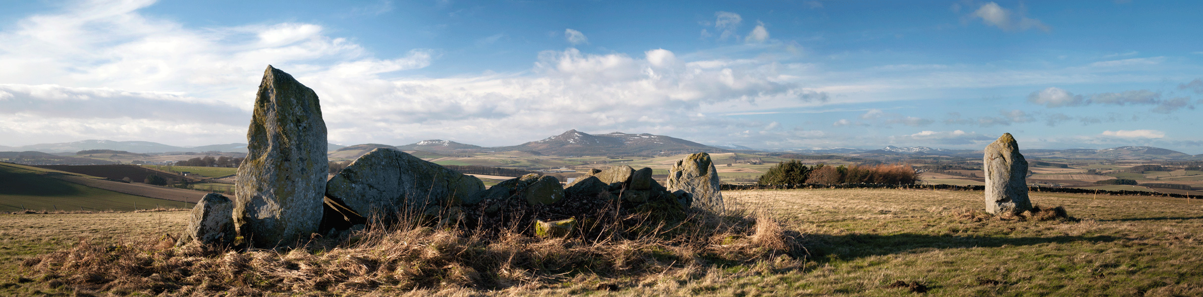
| Description | Kirkton of Bourtie stone circle - Map Ref: NJ801250 Landranger Map Number: 38 |
| Date | |
| Source | Kirkton of Bourtie Stone Circle |
| Author | stu smith from Hampton Wick / Aberdeen, uk |
| Camera location | | View this and other nearby images on: OpenStreetMap |
|---|
Licensing
[edit]
This file is licensed under the Creative Commons Attribution-Share Alike 2.0 Generic license.
- You are free:
- to share – to copy, distribute and transmit the work
- to remix – to adapt the work
- Under the following conditions:
- attribution – You must give appropriate credit, provide a link to the license, and indicate if changes were made. You may do so in any reasonable manner, but not in any way that suggests the licensor endorses you or your use.
- share alike – If you remix, transform, or build upon the material, you must distribute your contributions under the same or compatible license as the original.
| This image, originally posted to Flickr, was reviewed on 9 May 2015 by the administrator or reviewer Ww2censor, who confirmed that it was available on Flickr under the stated license on that date. |
File history
Click on a date/time to view the file as it appeared at that time.
| Date/Time | Thumbnail | Dimensions | User | Comment | |
|---|---|---|---|---|---|
| current | 11:42, 7 May 2015 | 2,428 × 600 (636 KB) | Prioryman (talk | contribs) | {{Information |Description=Map Ref: NJ801250 Landranger Map Number: 38 |Source=[https://www.flickr.com/photos/40139809@N00/5372775345/ Kirkton of Bourtie Stone Circle] |Date=2011-01-20 18:14 |Author=[https://www.flickr.com/people/40139809@N00 stu smit... |
You cannot overwrite this file.
File usage on Commons
The following page uses this file:
File usage on other wikis
The following other wikis use this file:
- Usage on de.wikipedia.org
- Usage on en.wikipedia.org
- Usage on www.wikidata.org