File:Košice Region - outline map Colored.svg
Jump to navigation
Jump to search

Size of this PNG preview of this SVG file: 800 × 400 pixels. Other resolutions: 320 × 160 pixels | 640 × 320 pixels | 1,024 × 512 pixels | 1,280 × 640 pixels | 2,560 × 1,280 pixels | 1,900 × 950 pixels.
Original file (SVG file, nominally 1,900 × 950 pixels, file size: 152 KB)
Captions
Captions
Add a one-line explanation of what this file represents
Summary
[edit]
| Description |
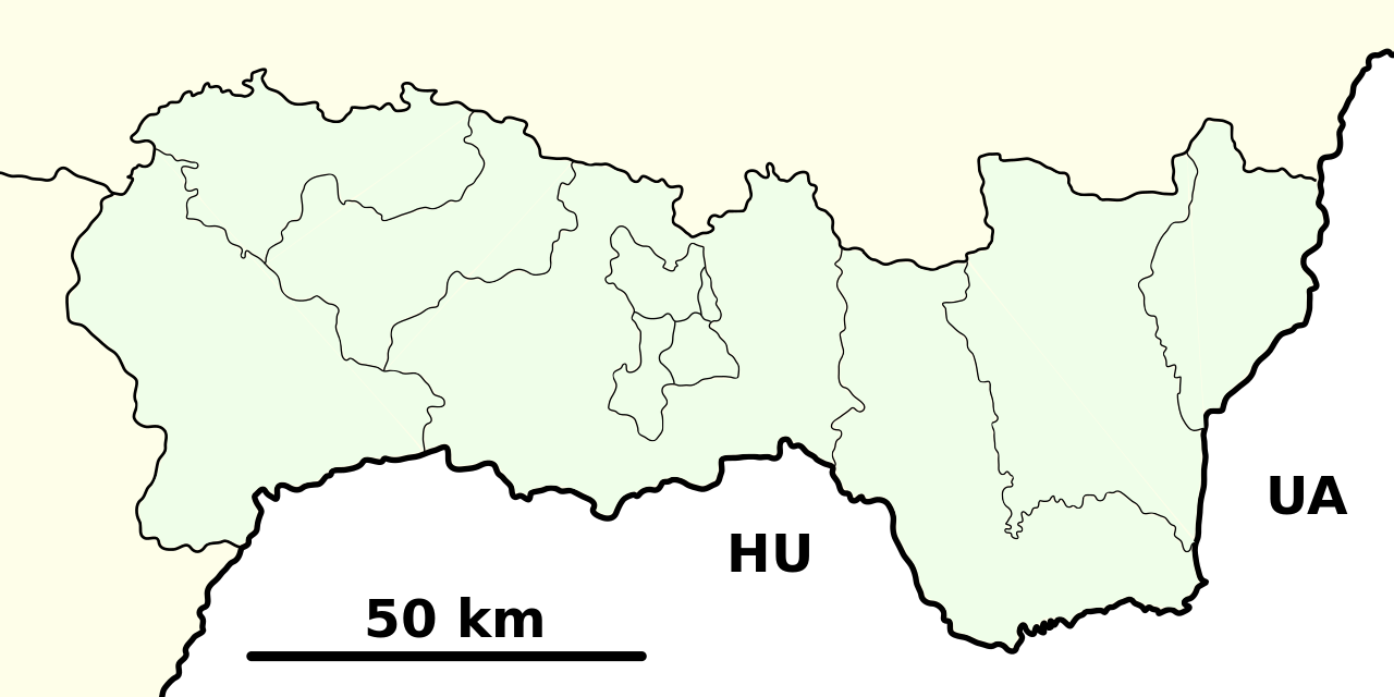
English: Administrative map of the Kosice region
Français : Carte administrative de la région de Kosice |
| Date | |
| Source | Own work |
| Author | Adehertogh |
| Other versions | Košice_Region_-_outline_map.svg |
Licensing
[edit]
I, the copyright holder of this work, hereby publish it under the following licenses:

|
Permission is granted to copy, distribute and/or modify this document under the terms of the GNU Free Documentation License, Version 1.2 or any later version published by the Free Software Foundation; with no Invariant Sections, no Front-Cover Texts, and no Back-Cover Texts. A copy of the license is included in the section entitled GNU Free Documentation License. |
This file is licensed under the Creative Commons Attribution-Share Alike 3.0 Unported, 2.5 Generic, 2.0 Generic and 1.0 Generic license.
- You are free:
- to share – to copy, distribute and transmit the work
- to remix – to adapt the work
- Under the following conditions:
- attribution – You must give appropriate credit, provide a link to the license, and indicate if changes were made. You may do so in any reasonable manner, but not in any way that suggests the licensor endorses you or your use.
- share alike – If you remix, transform, or build upon the material, you must distribute your contributions under the same or compatible license as the original.
You may select the license of your choice.
File history
Click on a date/time to view the file as it appeared at that time.
| Date/Time | Thumbnail | Dimensions | User | Comment | |
|---|---|---|---|---|---|
| current | 20:40, 28 September 2010 | | 1,900 × 950 (152 KB) | Adehertogh (talk | contribs) | Košice_Region_-_outline_map_Colored.svg |
| 21:00, 18 September 2010 |  | 1,900 × 950 (154 KB) | Adehertogh (talk | contribs) | new version | |
| 19:24, 18 September 2010 |  | 1,900 × 950 (2 KB) | Adehertogh (talk | contribs) | not imported last time | |
| 19:20, 18 September 2010 |  | 1,900 × 950 (520 bytes) | Adehertogh (talk | contribs) | {{Information |Description={{en|1=Administrative map of the Kosice region}} {{fr|1=Carte administrative de la région de Kosice}} |Source={{own}} |Author=Adehertogh |Date=20100917 |Permission= |other_versions=Košice_Region_-_outline_m |
You cannot overwrite this file.
File usage on Commons
There are no pages that use this file.
File usage on other wikis
The following other wikis use this file:
- Usage on ja.wikipedia.org
- Usage on uk.wikipedia.org
- Usage on www.wikidata.org