File:Kolonowskie (gmina) location map.png
Original file (932 × 626 pixels, file size: 161 KB, MIME type: image/png)
Captions
Captions
Summary
[edit]_location_map.png&action=edit§ion=1)
| Description |
English: Location map |
| Date | |
| Source | Own work |
| Author | Smat |
| Description |
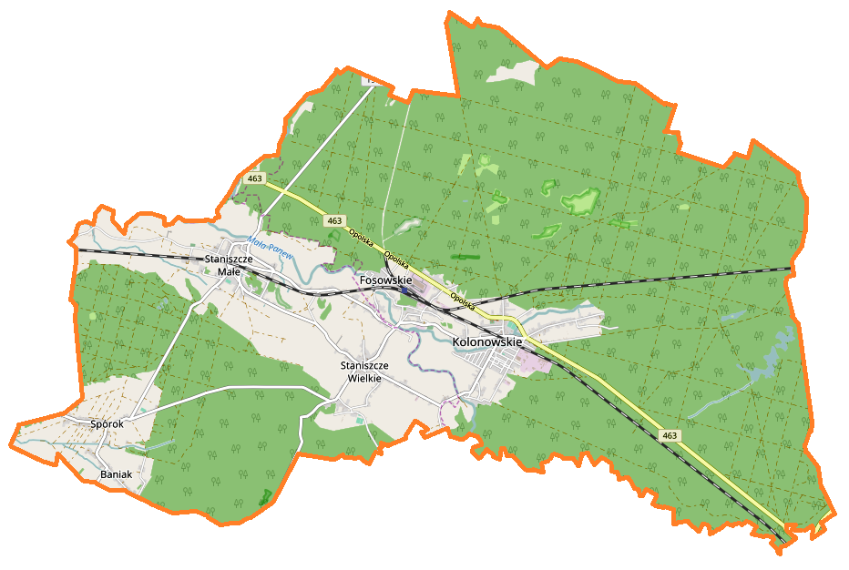
Polski: Mapa gminy Kolonowskie, Polska
English: Map of Kolonowskie (gmina), Poland |
|||||||||
| Date | ||||||||||
| Source | You may find a page on the OpenStreetMap wiki page for Kolonowskie (gmina) | |||||||||
| Creator |
OpenStreetMap contributors OpenStreetMap contributors |
|||||||||
| Permission (Reusing this file) |
OpenStreetMap data is available under the Open Database License (details). Map tiles are licensed under the Creative Commons Attribution-ShareAlike 2.0 license (CC-BY-SA 2.0).
This file is licensed under the Creative Commons Attribution-Share Alike 2.0 Generic license.
|
|||||||||
| Geotemporal data | ||||||||||
| Bounding box |
|
|||||||||
| Georeferencing | If inappropriate please set warp_status = skip to hide. | |||||||||
Licensing
[edit]_location_map.png&action=edit§ion=2)
| This work contains information from OpenStreetMap, which is made available under the Open Database License (ODbL).
The ODbL does not require any particular license for maps produced from ODbL data. Prior to 1 August 2020, map tiles produced by the OpenStreetMap Foundation were licensed under the CC-BY-SA-2.0 license. Maps produced by other people may be subject to other licences. |
File history
Click on a date/time to view the file as it appeared at that time.
| Date/Time | Thumbnail | Dimensions | User | Comment | |
|---|---|---|---|---|---|
| current | 09:49, 6 March 2017 | | 932 × 626 (161 KB) | Smat (talk | contribs) | User created page with UploadWizard |
You cannot overwrite this file.
File usage on Commons
There are no pages that use this file.
File usage on other wikis
The following other wikis use this file:
- Usage on fi.wikipedia.org
- Usage on pl.wikipedia.org
- Kolonowskie (gmina)
- Staniszcze Małe
- Kolonowskie
- Fosowskie
- Staniszcze Wielkie
- Staniszcze Małe (przystanek kolejowy)
- Fosowskie (stacja kolejowa)
- Kolonowskie (przystanek kolejowy)
- Spórok
- Sporok (stacja kolejowa)
- Staniszcze Wielkie (stacja kolejowa)
- Parafia Niepokalanego Serca Maryi w Kolonowskiem
- Granica (gmina Kolonowskie)
- Magda (województwo opolskie)
- Kościół św. Floriana w Spóroku
- Moduł:Mapa/dane/Kolonowskie
- Kościół ewangelicko-augsburski w Fosowskiem
- Moduł:Mapa/dane/Kolonowskie (gmina)
- Izba Regionalna Historii Lokalnej w Kolonowskiem
- Kościół Niepokalanego Serca Maryi w Kolonowskiem
- Parafia Zesłania Ducha Świętego w Staniszczach Małych
- Parafia św. Karola Boromeusza w Staniszczach Wielkich
- Kościół św. Karola Boromeusza w Staniszczach Wielkich
- Izostal
- Stawy Pluderskie
- Usage on pl.wikibooks.org
_location_map.png&oldid=607600447)