File:Kraków location map 2.svg
Jump to navigation
Jump to search

Size of this PNG preview of this SVG file: 800 × 512 pixels. Other resolutions: 320 × 205 pixels | 640 × 410 pixels | 1,024 × 656 pixels | 1,280 × 820 pixels | 2,560 × 1,639 pixels | 1,001 × 641 pixels.
Original file (SVG file, nominally 1,001 × 641 pixels, file size: 803 KB)
Captions
Captions
Add a one-line explanation of what this file represents
Summary[edit]
| Description |
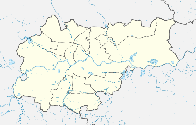
English: Map of Kraków. |
| Date | |
| Source |
This file was derived from: Kraków location map.svg |
| Author | Piotr Bart |
| Permission (Reusing this file) |
I, the copyright holder of this work, hereby publish it under the following license: This file is licensed under the Creative Commons Attribution-Share Alike 4.0 International license.
|
File history
Click on a date/time to view the file as it appeared at that time.
| Date/Time | Thumbnail | Dimensions | User | Comment | |
|---|---|---|---|---|---|
| current | 20:10, 7 February 2023 | | 1,001 × 641 (803 KB) | Piotr Bart (talk | contribs) | Uploaded a work by Piotr Bart from {{Derived from|Kraków location map}} with UploadWizard |
You cannot overwrite this file.
File usage on Commons
There are no pages that use this file.
File usage on other wikis
The following other wikis use this file:
- Usage on en.wikipedia.org
- Usage on pl.wikipedia.org
- Usage on si.wikipedia.org