File:Kurily.svg
Jump to navigation
Jump to search

Size of this PNG preview of this SVG file: 559 × 600 pixels. Other resolutions: 224 × 240 pixels | 447 × 480 pixels | 716 × 768 pixels | 955 × 1,024 pixels | 1,909 × 2,048 pixels | 882 × 946 pixels.
Original file (SVG file, nominally 882 × 946 pixels, file size: 43 KB)
Captions
Captions
Add a one-line explanation of what this file represents
Summary[edit]
| Description |
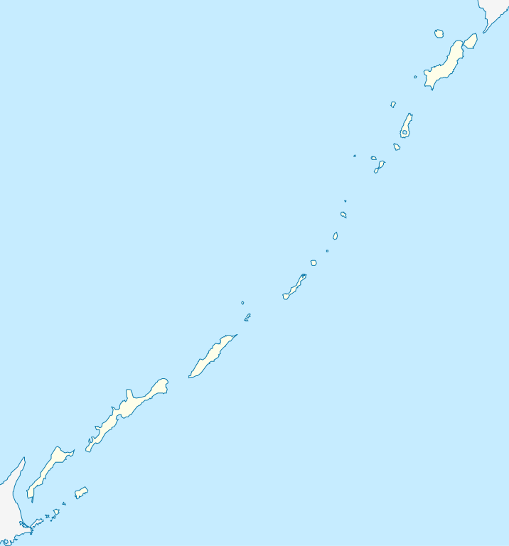
Русский: Схема Курильских островов |
| Date | |
| Source | File:Outline_Map_of_Sakhalin_Oblast.svg |
| Author |
Виктор В - оригинал Andrey Isakov |
| Other versions |
|

Licensing[edit]
| I, the copyright holder of this work, release this work into the public domain. This applies worldwide. In some countries this may not be legally possible; if so: I grant anyone the right to use this work for any purpose, without any conditions, unless such conditions are required by law. |
File history
Click on a date/time to view the file as it appeared at that time.
| Date/Time | Thumbnail | Dimensions | User | Comment | |
|---|---|---|---|---|---|
| current | 21:21, 23 April 2010 | | 882 × 946 (43 KB) | Andrey Isakov (talk | contribs) | {{Information |Description={{ru|1=Схема Курильских островов}} |Source=File:Outline_Map_of_Sakhalin_Oblast.svg |Author=Виктор В - оригинал Andrey Isakov |Date=23.02. |
You cannot overwrite this file.
File usage
The following page uses this file:
Global file usage
The following other wikis use this file:
- Usage on ar.wikipedia.org
- Usage on ba.wikipedia.org
- Usage on be.wikipedia.org
- Usage on bg.wikipedia.org
- Usage on ceb.wikipedia.org
- Usage on cs.wikipedia.org
- Usage on de.wikipedia.org
- Usage on en.wikipedia.org
- Usage on fr.wikipedia.org
- Usage on he.wikipedia.org
- Usage on hy.wikipedia.org
- Usage on id.wikipedia.org
- Usage on incubator.wikimedia.org
- Usage on ja.wikipedia.org
- Usage on ka.wikipedia.org
- Usage on kbd.wikipedia.org
- Usage on kk.wikipedia.org
- Usage on kn.wikipedia.org
View more global usage of this file.