File:Kurily Zelyonyy.svg
Jump to navigation
Jump to search

Size of this PNG preview of this SVG file: 559 × 600 pixels. Other resolutions: 224 × 240 pixels | 447 × 480 pixels | 716 × 768 pixels | 955 × 1,024 pixels | 1,909 × 2,048 pixels | 882 × 946 pixels.
Original file (SVG file, nominally 882 × 946 pixels, file size: 37 KB)
Captions
Captions
Add a one-line explanation of what this file represents
Summary[edit]
| Description |
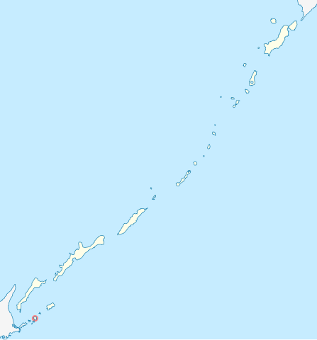
Русский: Зелёный остров на схеме Курильских островов. |
| Date | |
| Source | File:Outline_Map_of_Sakhalin_Oblast.svg |
| Author |
Виктор В - оригинал Andrey Isakov |
Licensing[edit]
| I, the copyright holder of this work, release this work into the public domain. This applies worldwide. In some countries this may not be legally possible; if so: I grant anyone the right to use this work for any purpose, without any conditions, unless such conditions are required by law. |
File history
Click on a date/time to view the file as it appeared at that time.
| Date/Time | Thumbnail | Dimensions | User | Comment | |
|---|---|---|---|---|---|
| current | 14:22, 24 May 2010 | | 882 × 946 (37 KB) | Andrey Isakov (talk | contribs) | == Summary == {{Information |Description={{ru|1=Остров Зелёный на схеме Курильских островов}} |Source=File:Outline_Map_of_Sakhalin_Oblast.svg |Author=Виктор В - оригинал [ |
You cannot overwrite this file.
File usage on Commons
There are no pages that use this file.