File:Kuusinen Kotka 2.JPG
Jump to navigation
Jump to search

Size of this preview: 800 × 450 pixels. Other resolutions: 320 × 180 pixels | 640 × 360 pixels | 1,024 × 576 pixels | 1,280 × 720 pixels | 2,560 × 1,440 pixels | 5,184 × 2,917 pixels.
Original file (5,184 × 2,917 pixels, file size: 5.18 MB, MIME type: image/jpeg)
Captions
Captions
Add a one-line explanation of what this file represents
| Description |
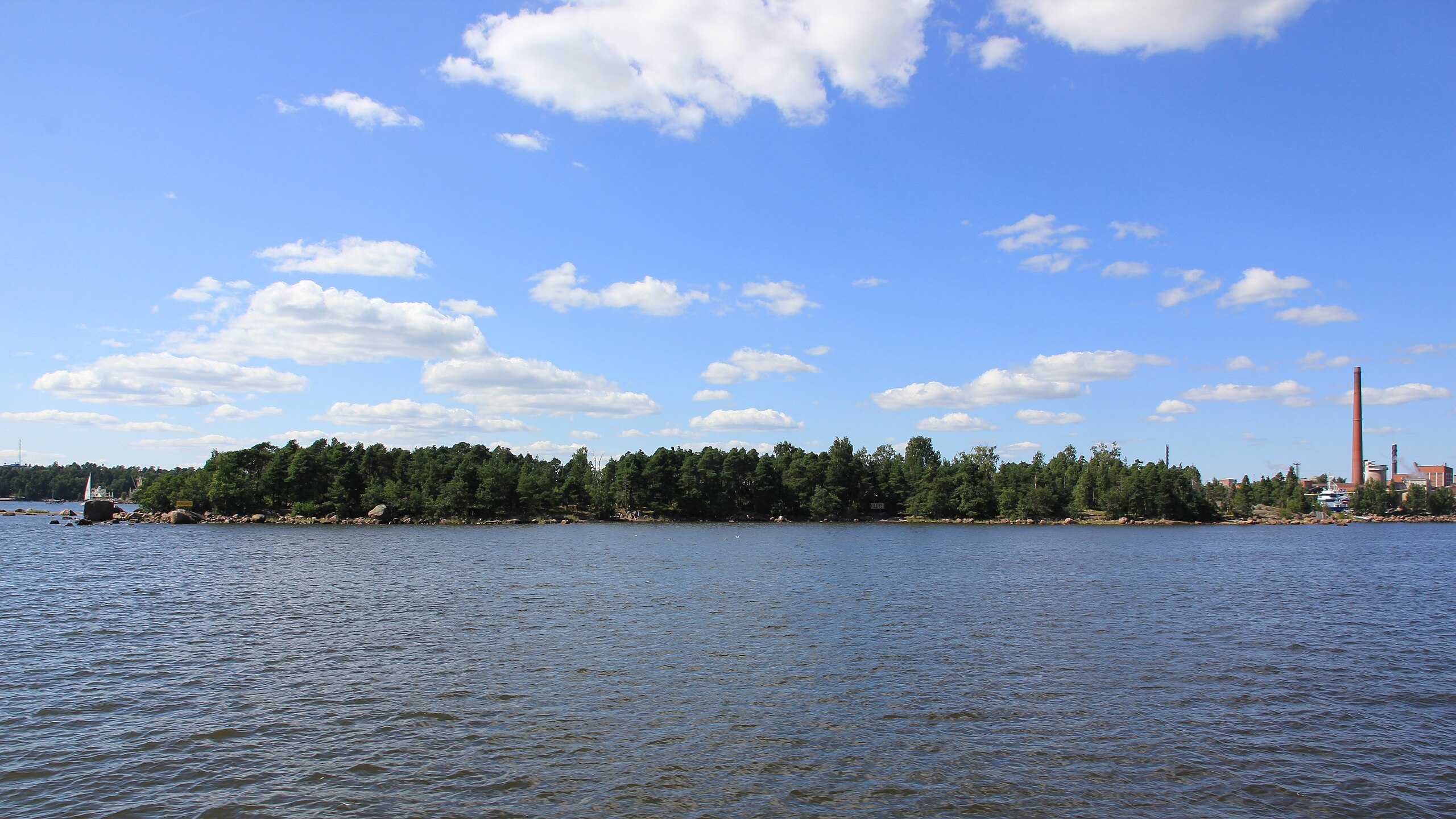
English: Kuusinen island in Kotka from east. The island is connected to Kotkansaari by a causeway.
Suomi: Kuusisen saari Kotkassa idästä nähtynä. Saari on yhdistetty Kotkansaareen patotiellä. |
||
| Date | |||
| Source | Own work | ||
| Author | MKFI | ||
| Permission (Reusing this file) |
|
| Camera location | | View this and other nearby images on: OpenStreetMap |
|---|
The geographical information in this file was retrospectively estimated.
The location may therefore be somewhat imprecise. Verifying and refining these coordinates is strongly encouraged. |
File history
Click on a date/time to view the file as it appeared at that time.
| Date/Time | Thumbnail | Dimensions | User | Comment | |
|---|---|---|---|---|---|
| current | 15:43, 28 January 2012 | | 5,184 × 2,917 (5.18 MB) | MKFI (talk | contribs) | {{Information |Description ={{en|1=Kuusinen island in Kotka from east. The island is connected to Kotkansaari by a causeway.}} {{fi|1=Kuusisen saari Kotkassa idästä nähtynä. Saari on yhdistetty Kotkansaareen patotiellä.}} |Source ={{own}} |
You cannot overwrite this file.
File usage on Commons
The following 2 pages use this file:
File usage on other wikis
The following other wikis use this file:
- Usage on ceb.wikipedia.org
- Usage on fi.wikipedia.org
- Usage on fr.wikipedia.org
- Usage on sv.wikipedia.org
- Usage on www.wikidata.org