File:Lübben Roter-Nil April-2011 SL276148.JPG
Jump to navigation
Jump to search

Size of this preview: 800 × 600 pixels. Other resolutions: 320 × 240 pixels | 640 × 480 pixels | 1,024 × 768 pixels | 1,280 × 960 pixels | 2,560 × 1,920 pixels | 3,072 × 2,304 pixels.
Original file (3,072 × 2,304 pixels, file size: 2.59 MB, MIME type: image/jpeg)
Captions
Captions
Add a one-line explanation of what this file represents
Summary[edit]
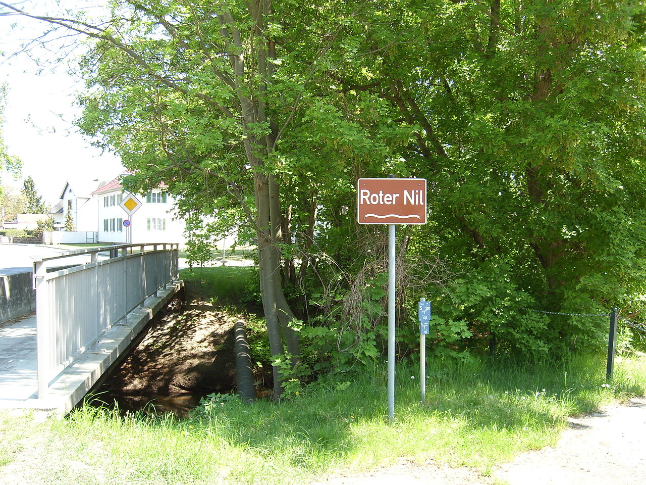
| Description | Der "Rote Nil" an der Straßenbrücke der Bundesstraße 87 in Lübben. Er gehört zum Gewässersystem Spree und hieß früher "Alte Spree"; sein heutiger Name kam erst im 19. Jahrhundert auf und wurde Mitte der 1990er Jahre als amtlicher Name eingetragen. |
| Date | |
| Source | Own work |
| Author | C. Löser |
| Camera location | | View this and other nearby images on: OpenStreetMap |
|---|
Licensing[edit]
I, the copyright holder of this work, hereby publish it under the following license:
This file is licensed under the Creative Commons Attribution 3.0 Germany license.
- You are free:
- to share – to copy, distribute and transmit the work
- to remix – to adapt the work
- Under the following conditions:
- attribution – You must give appropriate credit, provide a link to the license, and indicate if changes were made. You may do so in any reasonable manner, but not in any way that suggests the licensor endorses you or your use.

File history
Click on a date/time to view the file as it appeared at that time.
| Date/Time | Thumbnail | Dimensions | User | Comment | |
|---|---|---|---|---|---|
| current | 14:23, 2 May 2011 | | 3,072 × 2,304 (2.59 MB) | C.Löser (talk | contribs) | == {{int:filedesc}} == {{Information |Description=Der "Rote Nil" an der Straßenbrücke der Bundesstraße 87 in Lübben. Er gehört zum Gewässersystem Spree und hieß früher "Alte Spree"; sein heutiger Name kam erst im 19. Jahrhundert auf und wurde Mitt |
You cannot overwrite this file.
File usage on Commons
There are no pages that use this file.
File usage on other wikis
The following other wikis use this file:
- Usage on de.wikipedia.org