File:LASB K Hellwig 0546.jpg
Jump to navigation
Jump to search

Size of this preview: 650 × 600 pixels. Other resolutions: 260 × 240 pixels | 520 × 480 pixels | 832 × 768 pixels | 1,109 × 1,024 pixels | 2,219 × 2,048 pixels | 3,003 × 2,772 pixels.
Original file (3,003 × 2,772 pixels, file size: 3.12 MB, MIME type: image/jpeg)
Captions
Captions
Add a one-line explanation of what this file represents
Summary
[edit]
| Description |
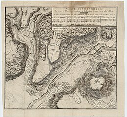
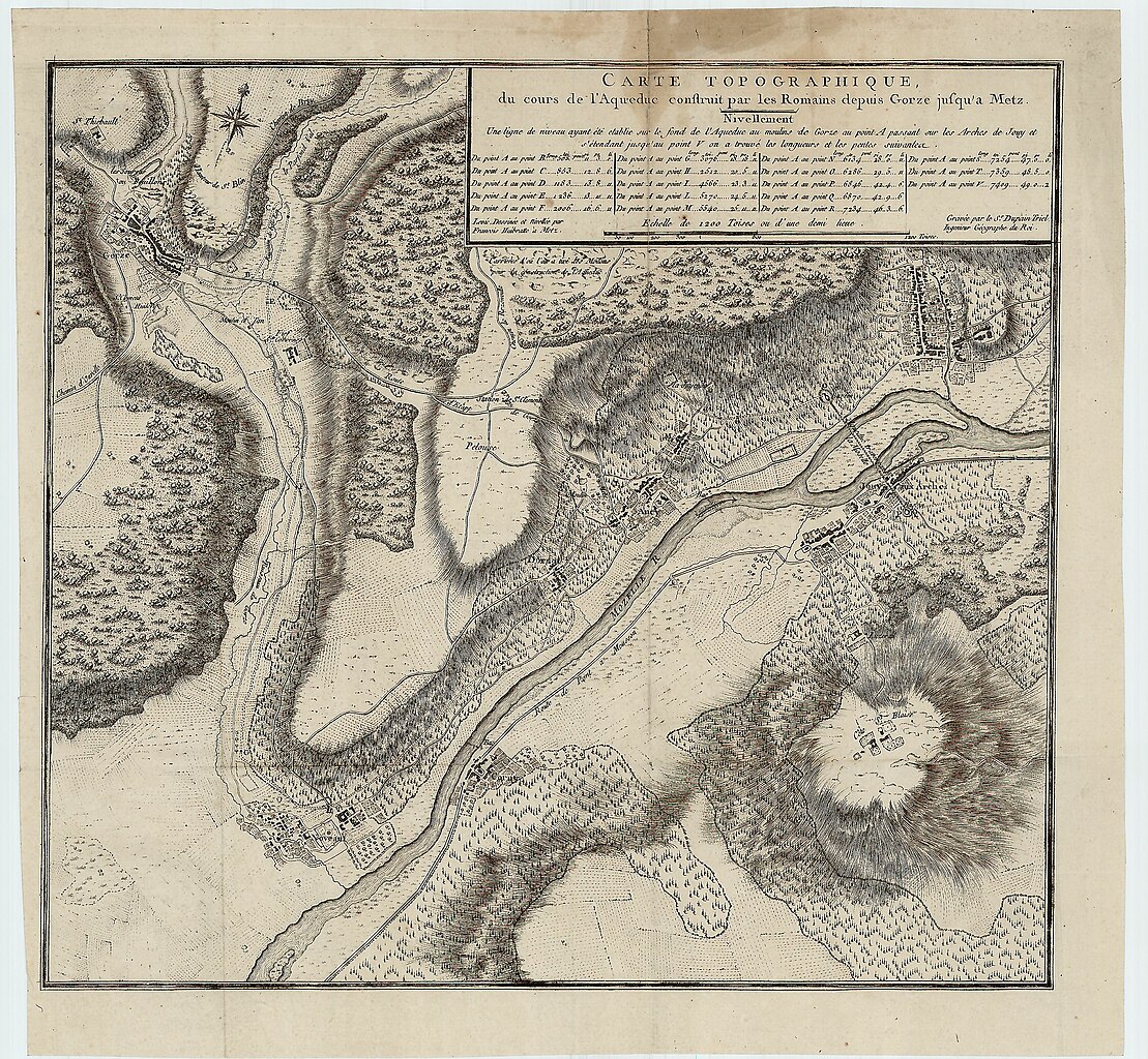
Deutsch: Topographische Karte des römischen Aquädukts (Wasserleitung) von Gorze nach Metz (CARTE TOPOGRAPHIQUE, du cours de l' Aqueduc construit par les Romains depuis Gorze jusqu' a Metz. Gravée par le Sr. Dupain Triel Ingenieur Géographe de Roi.) - Kupferstich - französisch - 32,6 x 34,6 cm - [ca. 1780] |
| Date | |
| Source | Landesarchiv Saarbrücken, Kartensammlung Hellwig Nr. 546 |
| Author | Unknown author |
Licensing
[edit]
| Media uploaded by user LandesarchivSaarbrücken are released under CC-BY-SA 3.0 DE. |
This file is licensed under the Creative Commons Attribution-Share Alike 3.0 Germany license. Attribution: Landesarchiv Saarbrücken, Bestand K Hellwig, Nr. 0546, Urheber unbekannt / CC-BY-SA 3.0 DE
 |
File history
Click on a date/time to view the file as it appeared at that time.
| Date/Time | Thumbnail | Dimensions | User | Comment | |
|---|---|---|---|---|---|
| current | 11:26, 14 May 2021 | | 3,003 × 2,772 (3.12 MB) | LandesarchivSaarbrücken (talk | contribs) | Uploaded a work by unkown from Landesarchiv Saarbrücken, Kartensammlung Hellwig Nr. 546 with UploadWizard |
You cannot overwrite this file.
File usage on Commons
There are no pages that use this file.