File:LASB K Hellwig 0649 1817 detail-neustadt-weinstraße.jpg
Jump to navigation
Jump to search
Size of this preview: 800 × 345 pixels. Other resolutions: 320 × 138 pixels | 640 × 276 pixels | 1,413 × 609 pixels.
Original file (1,413 × 609 pixels, file size: 558 KB, MIME type: image/jpeg)
Captions
Captions
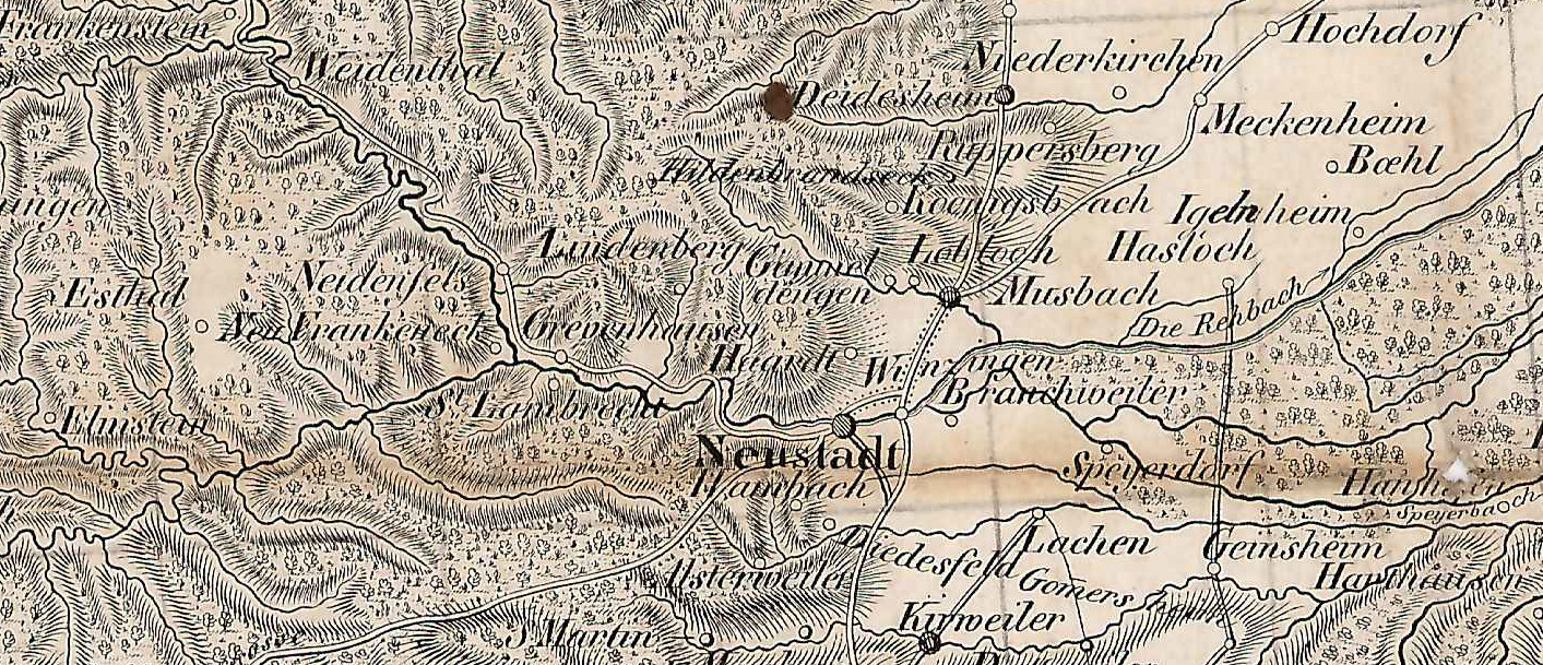
Karte of Rheinbayern (Rheinpfalz) and adjacent territories - detail around Neustadt Weinstraße
Summary[edit]
| Description |
English: Karte of Rheinbayern (Rheinpfalz) and adjacent territories - detail cutout around Neustadt Weinstraße
Deutsch: Karte von Rheinbayern (Rheinpfalz) und angrenzenden Territorien - Detailausschnitt um Neustadt an der Weinstraße |
| Date | |
| Source | File:LASB_K_Hellwig_0649.jpg, Landesarchiv Saarbrücken, Kartensammlung Hellwig Nr. 649 |
| Author | Müller, Christian Friedrich (1776 - 1821) (Publisher) |
| Camera location | | View this and other nearby images on: OpenStreetMap |
|---|
Licensing[edit]
| Media uploaded by user LandesarchivSaarbrücken are released under CC-BY-SA 3.0 DE. |
This file is licensed under the Creative Commons Attribution-Share Alike 3.0 Germany license. Attribution: Landesarchiv Saarbrücken, Bestand K Hellwig, Nr. 0649, Urheber Christian Friedrich Müller (1776-1821) / CC-BY-SA 3.0 DE
 |
File history
Click on a date/time to view the file as it appeared at that time.
| Date/Time | Thumbnail | Dimensions | User | Comment | |
|---|---|---|---|---|---|
| current | 17:53, 18 September 2022 | | 1,413 × 609 (558 KB) | Georg Slickers (talk | contribs) | Uploaded a work by Müller, Christian Friedrich (1776 - 1821) (Publisher) from File:LASB_K_Hellwig_0649.jpg, Landesarchiv Saarbrücken, Kartensammlung Hellwig Nr. 649 with UploadWizard |
You cannot overwrite this file.
File usage on Commons
There are no pages that use this file.
File usage on other wikis
The following other wikis use this file:
- Usage on de.wikipedia.org