File:Lageplan der Arbeiterwohnhäuser im Tunzhofer Viertel in Stuttgart.jpg
Jump to navigation
Jump to search

Size of this preview: 800 × 561 pixels. Other resolutions: 320 × 224 pixels | 640 × 449 pixels | 976 × 684 pixels.
Original file (976 × 684 pixels, file size: 144 KB, MIME type: image/jpeg)
Captions
Captions
Add a one-line explanation of what this file represents
Summary
[edit]
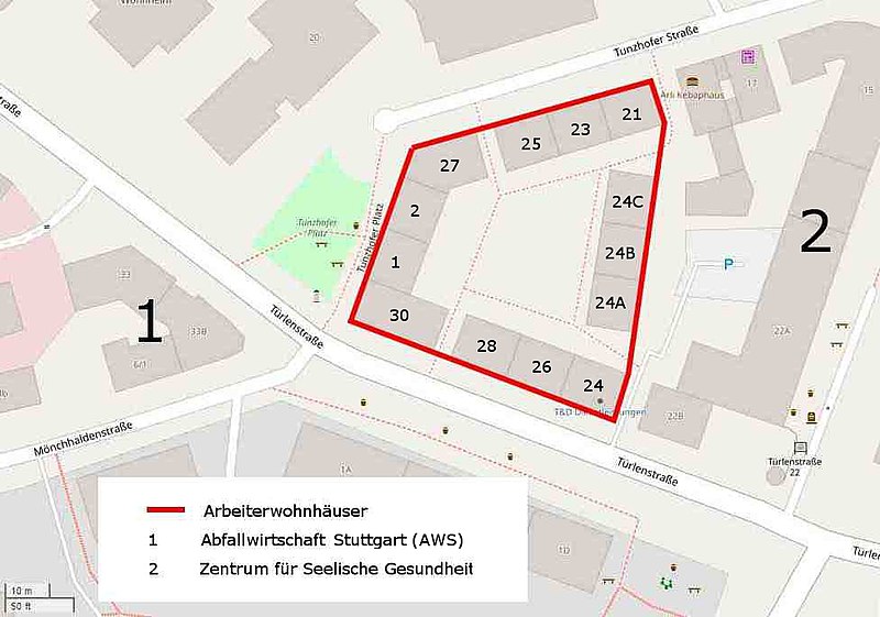
| Description | Lageplan der Arbeiterwohnhäuser im Tunzhofer Viertel in Stuttgart. |
| Date | |
| Source | Open Street Map, Gerd Leibrock |
| Author | Open Street Map, Gerd Leibrock |
Licensing
[edit]
This file is licensed under the Creative Commons Attribution-Share Alike 3.0 Germany license.
- You are free:
- to share – to copy, distribute and transmit the work
- to remix – to adapt the work
- Under the following conditions:
- attribution – You must give appropriate credit, provide a link to the license, and indicate if changes were made. You may do so in any reasonable manner, but not in any way that suggests the licensor endorses you or your use.
- share alike – If you remix, transform, or build upon the material, you must distribute your contributions under the same or compatible license as the original.

File history
Click on a date/time to view the file as it appeared at that time.
| Date/Time | Thumbnail | Dimensions | User | Comment | |
|---|---|---|---|---|---|
| current | 05:15, 22 September 2018 | | 976 × 684 (144 KB) | Gerd Leibrock (talk | contribs) | {{Information |Description= Lageplan der Arbeiterwohnhäuser im Tunzhofer Viertel in Stuttgart. |Source= Open Street Map, Gerd Leibrock |Date=2018 |Author= Open Street Map, Gerd Leibrock }} Category: Sachgesamtheit Arbeiterwohnhäuser Türlenstraße Tunzhofer Straße == {{int:license-header}} == {{Bild-CC-by-sa/3.0/de}} |
You cannot overwrite this file.
File usage on Commons
There are no pages that use this file.
File usage on other wikis
The following other wikis use this file:
- Usage on de.wikipedia.org