File:Lagon et montagnes de Gouaro Deva - panoramio.jpg
Jump to navigation
Jump to search
Size of this preview: 800 × 450 pixels. Other resolutions: 320 × 180 pixels | 640 × 360 pixels | 1,024 × 576 pixels | 1,280 × 720 pixels | 1,920 × 1,080 pixels.
Original file (1,920 × 1,080 pixels, file size: 816 KB, MIME type: image/jpeg)
Captions
Captions
Add a one-line explanation of what this file represents
Summary
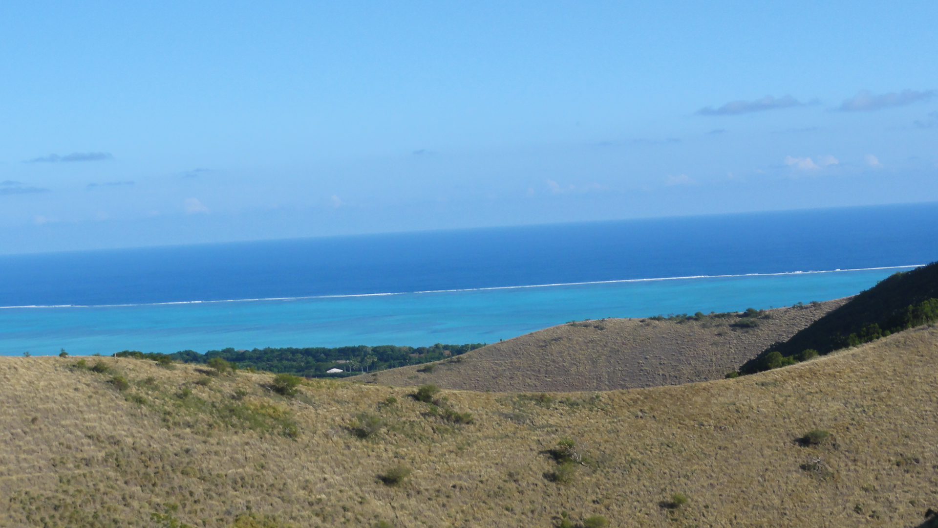
[edit]| Description | Lagon et montagnes de Gouaro Deva | ||
| Date | Taken on 7 September 2011 | ||
| Source | https://web.archive.org/web/20161023213505/http://www.panoramio.com/photo/60502593 | ||
| Author | Roman Barthe | ||
| Permission (Reusing this file) |
This file is licensed under the Creative Commons Attribution 3.0 Unported license. Attribution: Roman Barthe
|
||
| Tags (from Panoramio photo page) | Bourail |
| Camera location | | View this and other nearby images on: OpenStreetMap |
|---|

File history
Click on a date/time to view the file as it appeared at that time.
| Date/Time | Thumbnail | Dimensions | User | Comment | |
|---|---|---|---|---|---|
| current | 20:37, 18 December 2016 | | 1,920 × 1,080 (816 KB) | Panoramio upload bot (talk | contribs) | == {{int:filedesc}} == {{Information |description=Lagon et montagnes de Gouaro Deva |date={{Taken on|2011-09-07}} |source=http://www.panoramio.com/photo/60502593 |author=[http://www.panoramio.com/user/6282911?with_photo_id=60502593 Roman Barthe] |permi... |
You cannot overwrite this file.
File usage on Commons
There are no pages that use this file.