File:Lake Lämmi, LandSat-8, 2016-10-20.jpg
Jump to navigation
Jump to search

Size of this preview: 800 × 600 pixels. Other resolutions: 320 × 240 pixels | 640 × 480 pixels | 1,024 × 768 pixels | 1,280 × 960 pixels | 1,600 × 1,200 pixels.
Original file (1,600 × 1,200 pixels, file size: 658 KB, MIME type: image/jpeg)
Captions
Captions
Add a one-line explanation of what this file represents
Summary[edit]
| Description |
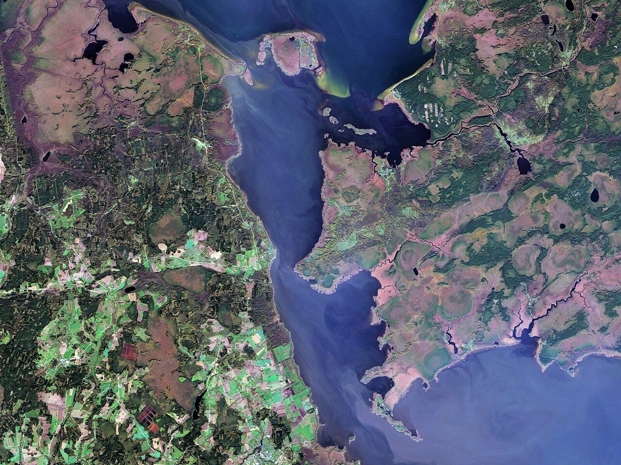
Русский: Чудское озеро, снимок спутника ЛандСат 8, пространственное разрешение 30 м, цвета близкие к натуральным
English: LandSat8 satellite imagery of Lake Peipus (Estonia, Russia), resolution 30m, colors near natural, LandSat scene ID = LC81860192016294LGN01, date acquired = 2016-10-20 |
| Date | |
| Source | [1] |
| Author | NASA |
| Other versions |

Licensing[edit]
| This file is in the public domain in the United States because it was solely created by NASA. NASA copyright policy states that "NASA material is not protected by copyright unless noted". (See Template:PD-USGov, NASA copyright policy page or JPL Image Use Policy.) | ||
 |
Warnings:
|
File history
Click on a date/time to view the file as it appeared at that time.
| Date/Time | Thumbnail | Dimensions | User | Comment | |
|---|---|---|---|---|---|
| current | 10:12, 15 March 2024 | | 1,600 × 1,200 (658 KB) | Argo Navis (talk | contribs) | File:Lake Peipus, LandSat-8, 2016-10-20.jpg cropped 41 % horizontally, 74 % vertically using CropTool with precise mode. |
| 10:11, 15 March 2024 |  | 1,500 × 1,500 (752 KB) | Argo Navis (talk | contribs) | File:Lake Peipus, LandSat-8, 2016-10-20.jpg cropped 45 % horizontally, 68 % vertically using CropTool with precise mode. |
You cannot overwrite this file.
File usage on Commons
The following page uses this file:
File usage on other wikis
The following other wikis use this file:
- Usage on hr.wikipedia.org