File:Landappbw 947330 1821 Fundamentreste Abschusstelle Altenburg Tuttlingen.jpg
Jump to navigation
Jump to search

Size of this preview: 487 × 600 pixels. Other resolutions: 195 × 240 pixels | 390 × 480 pixels | 624 × 768 pixels | 832 × 1,024 pixels | 2,112 × 2,600 pixels.
Original file (2,112 × 2,600 pixels, file size: 952 KB, MIME type: image/jpeg)
Captions
Captions
Add a one-line explanation of what this file represents
Summary[edit]
| Description |
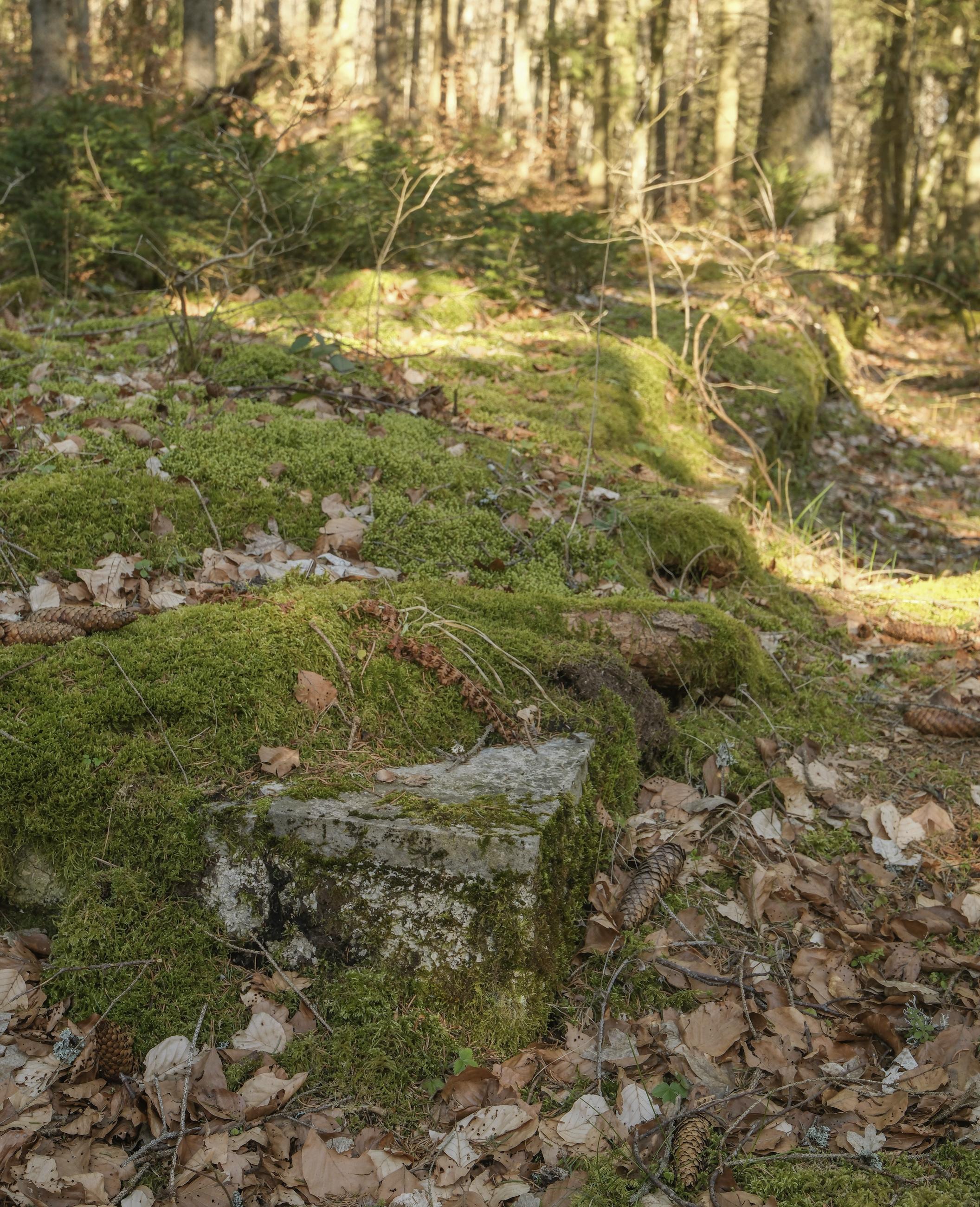
Deutsch: Von der Abschussstelle A wurde in zwei Zielgebiete geschossen.
Das Zielgebiet Z 1 liegt etwa 4,7 Kilometer nordnordöstlich auf dem Kraftstein, das Zielgebiet Z 2 im gleichen Korridor in etwa 8,1 Kilometer Entfernung bei Renquishausen. In den Zielgebieten finden sich noch Reste von Beobachtungsbunkern, die offiziell als Beobachtungsstände bezeichnet wurden. |
| Date | 25 March 2024, 16:31:38 (original upload date) |
| Source | overview - direct - dataset |
| Author | Dietrich Krieger |
| Permission (Reusing this file) |
Creative Commons Zero (CC0) |
| ID | 947330 |
| Category | 1830 |
| Object location | | View this and other nearby images on: OpenStreetMap |
|---|
This media file was collected by Landauf, LandApp under the ID 947330. This tag does not indicate the copyright status of the attached work. A normal copyright tag is still required. See Commons:Licensing. |
Licensing[edit]
| This file is made available under the Creative Commons CC0 1.0 Universal Public Domain Dedication. | |
| The person who associated a work with this deed has dedicated the work to the public domain by waiving all of their rights to the work worldwide under copyright law, including all related and neighboring rights, to the extent allowed by law. You can copy, modify, distribute and perform the work, even for commercial purposes, all without asking permission.
|
File history
Click on a date/time to view the file as it appeared at that time.
| Date/Time | Thumbnail | Dimensions | User | Comment | |
|---|---|---|---|---|---|
| current | 14:18, 31 March 2024 | | 2,112 × 2,600 (952 KB) | LaserlichtBot (talk | contribs) | =={{int:filedesc}}== {{Information |description={{de|1=Von der Abschussstelle A wurde in zwei Zielgebiete geschossen. Das Zielgebiet Z 1 liegt etwa 4,7 Kilometer nordnordöstlich auf dem Kraftstein, das Zielgebiet Z 2 im gleichen Korridor in etwa 8,1 Kilometer Entfernung bei Renquishausen. In den Zielgebieten finden sich noch Reste von Beobachtungsbunkern, die offiziell als Beobachtungsstände bezeichnet wurden.}} |date={{Original upload date|2024-03-25 16:31:38}} |source=[https://www.spo... |
You cannot overwrite this file.
File usage on Commons
The following page uses this file: