File:Langenberg Nutzung.png
Jump to navigation
Jump to search
Size of this preview: 521 × 600 pixels. Other resolutions: 208 × 240 pixels | 417 × 480 pixels | 667 × 768 pixels | 1,143 × 1,316 pixels.
Original file (1,143 × 1,316 pixels, file size: 197 KB, MIME type: image/png)
Captions
Captions
Add a one-line explanation of what this file represents
Summary
[edit]
| Description |
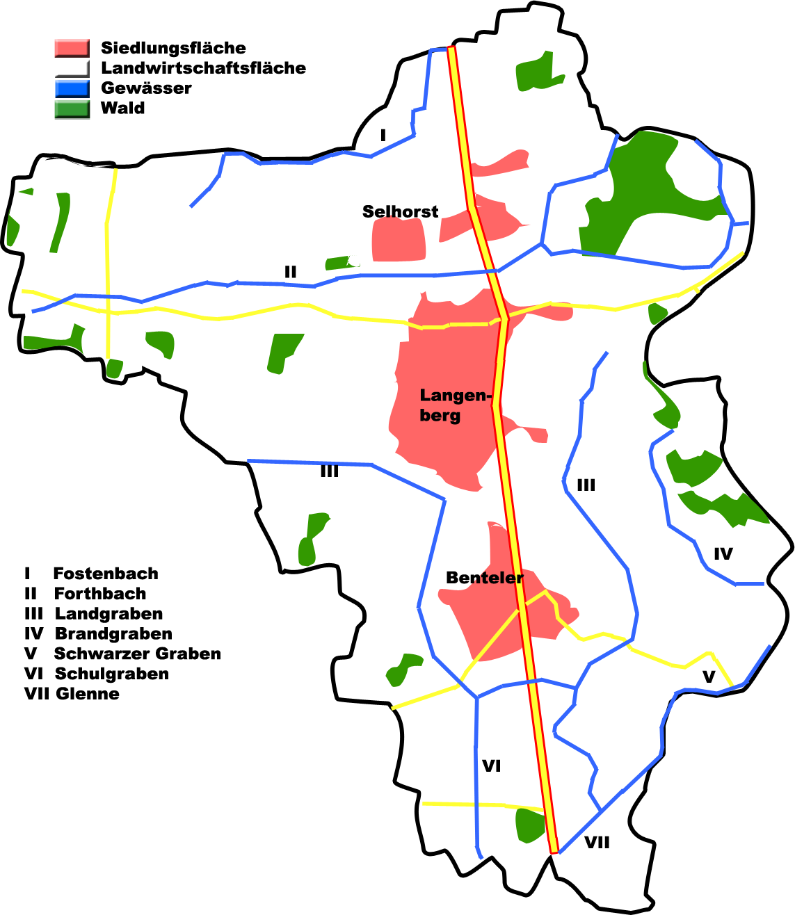
English: Land usage in Langenberg, County of Gütersloh, Germany
Deutsch: Flächennutzung Langenberg, Kreis Gütersloh, Deutschland |
| Date | |
| Source | Own work |
| Author | Hagar66 |
| Camera location | | View this and other nearby images on: OpenStreetMap |
|---|
Homemade maps cannot be 100% accurate. This is especially true for topographical data that is hard to incorporate 100% correctly in such maps. You are free to use the map as a starting point for your new improved versions.
Licensing
[edit]
| I, the copyright holder of this work, release this work into the public domain. This applies worldwide. In some countries this may not be legally possible; if so: I grant anyone the right to use this work for any purpose, without any conditions, unless such conditions are required by law. |
File history
Click on a date/time to view the file as it appeared at that time.
| Date/Time | Thumbnail | Dimensions | User | Comment | |
|---|---|---|---|---|---|
| current | 16:13, 18 July 2008 | | 1,143 × 1,316 (197 KB) | Hagar66 (talk | contribs) | == Beschreibung == {{Information |Description={{en|1=Land usage in Langenberg, County of Gütersloh, Germany}} {{de|1=Flächennutzung Langenberg, Kreis Gütersloh, Deutschland}} |Source=Eigenes Werk (own work) |Author=Hagar66 |Date=18.07. |
You cannot overwrite this file.
File usage on Commons
There are no pages that use this file.