File:Langue de Barbarie 2006-10-30.jpg
Jump to navigation
Jump to search

Size of this preview: 800 × 459 pixels. Other resolutions: 320 × 184 pixels | 640 × 367 pixels | 1,024 × 588 pixels | 1,280 × 734 pixels | 2,445 × 1,403 pixels.
Original file (2,445 × 1,403 pixels, file size: 216 KB, MIME type: image/jpeg)
Captions
Captions
Add a one-line explanation of what this file represents
Summary
[edit]
| Description |
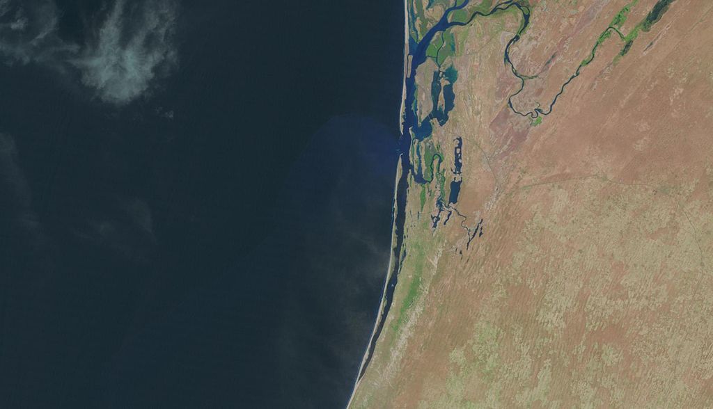
English: The Langue de Barbarie peninsula separates the Senegal River from the Atlantic Ocean. The city of Saint-Louis, Senegal, is visible at the top of the picture. The peninsula was breached in 2003. |
| Date | |
| Source | LandsatLook Viewer |
| Author | NASA |
| Camera location | | View this and other nearby images on: OpenStreetMap |
|---|
Licensing
[edit]
| This file is in the public domain in the United States because it was solely created by NASA. NASA copyright policy states that "NASA material is not protected by copyright unless noted". (See Template:PD-USGov, NASA copyright policy page or JPL Image Use Policy.) | ||
 |
Warnings:
|
File history
Click on a date/time to view the file as it appeared at that time.
| Date/Time | Thumbnail | Dimensions | User | Comment | |
|---|---|---|---|---|---|
| current | 12:15, 13 January 2014 | | 2,445 × 1,403 (216 KB) | Yaamboo (talk | contribs) | User created page with UploadWizard |
You cannot overwrite this file.
File usage on Commons
The following page uses this file: