File:Latvia administrative divisions.svg
Jump to navigation
Jump to search

Size of this PNG preview of this SVG file: 800 × 472 pixels. Other resolutions: 320 × 189 pixels | 640 × 378 pixels | 1,024 × 604 pixels | 1,280 × 755 pixels | 2,560 × 1,511 pixels | 1,220 × 720 pixels.
Original file (SVG file, nominally 1,220 × 720 pixels, file size: 1.57 MB)
Captions
Captions
Add a one-line explanation of what this file represents
Summary[edit]
| Description |
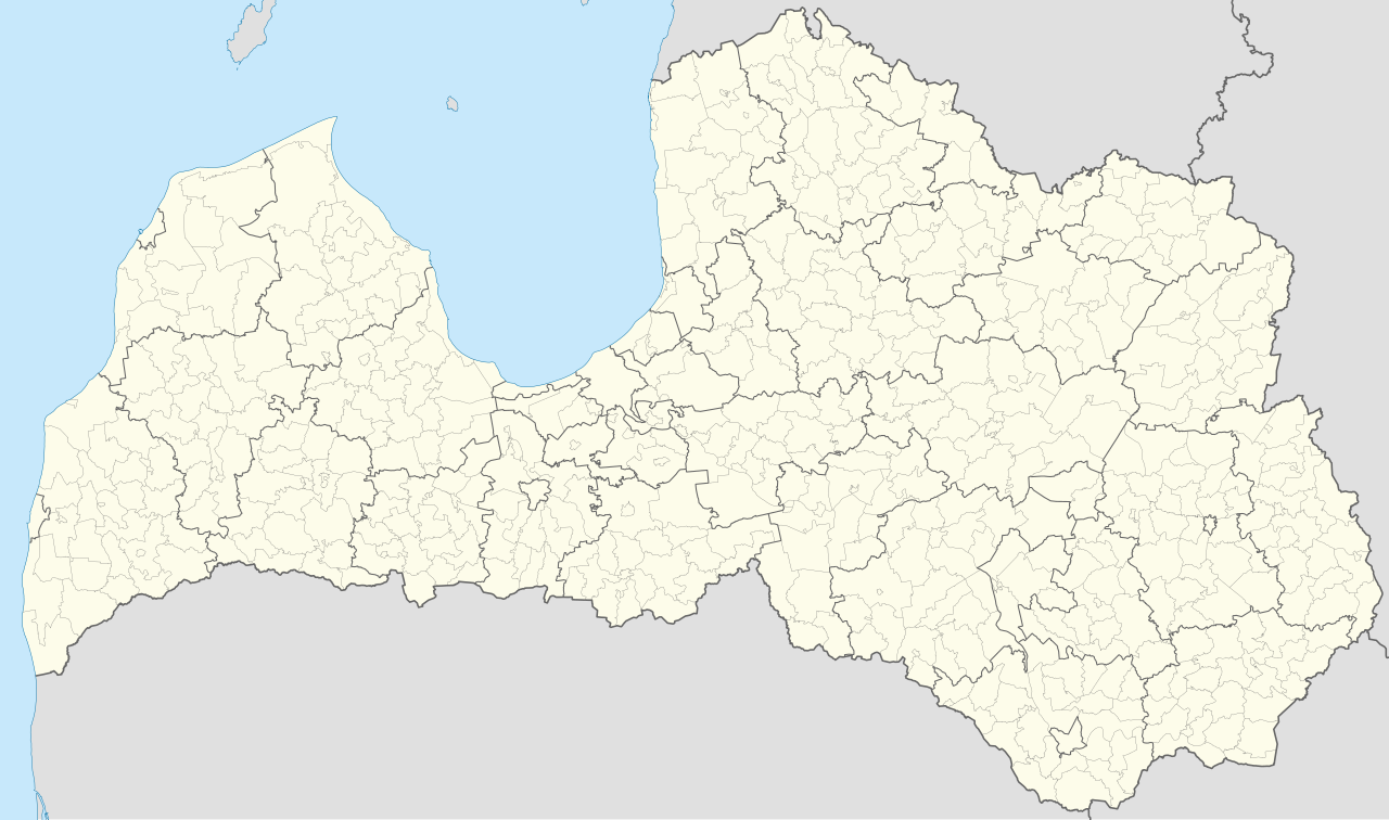
English: Map of the administrative divisions of Latvia, municipalities, towns and parishes. |
| Date | |
| Source |
Own work based on This vector image includes elements that have been taken or adapted from this file: |
| Author | User:Fenn-O-maniC |
| Other versions |
|

Licensing[edit]
This file is licensed under the Creative Commons Attribution-Share Alike 4.0 International license.
- You are free:
- to share – to copy, distribute and transmit the work
- to remix – to adapt the work
- Under the following conditions:
- attribution – You must give appropriate credit, provide a link to the license, and indicate if changes were made. You may do so in any reasonable manner, but not in any way that suggests the licensor endorses you or your use.
- share alike – If you remix, transform, or build upon the material, you must distribute your contributions under the same or compatible license as the original.
File history
Click on a date/time to view the file as it appeared at that time.
| Date/Time | Thumbnail | Dimensions | User | Comment | |
|---|---|---|---|---|---|
| current | 20:09, 12 November 2022 | | 1,220 × 720 (1.57 MB) | Fenn-O-maniC (talk | contribs) | Mezvidi |
| 05:01, 15 August 2022 |  | 1,220 × 720 (1.57 MB) | Fenn-O-maniC (talk | contribs) | Ādaži, Ķekava, Mārupe | |
| 17:59, 12 June 2022 |  | 1,220 × 720 (1.56 MB) | Fenn-O-maniC (talk | contribs) | - | |
| 17:42, 12 June 2022 |  | 1,220 × 720 (1.56 MB) | Fenn-O-maniC (talk | contribs) | - | |
| 17:37, 12 June 2022 |  | 1,220 × 720 (1.56 MB) | Fenn-O-maniC (talk | contribs) | Further fixes | |
| 15:47, 12 June 2022 |  | 1,220 × 720 (1.56 MB) | Fenn-O-maniC (talk | contribs) | Some fixes | |
| 15:30, 12 June 2022 |  | 1,220 × 720 (1.57 MB) | Fenn-O-maniC (talk | contribs) | Uploaded a work by User:Fenn-O-maniC from {{own}} based on {{AttribSVG|Cities and towns of Latvia.svg|Kikos}}, borders as per [https://www.arcgis.com/home/item.html?id=b76d9304b3ca467383e462e5dc945d9b Valsts zemes dienesta Valsts adrešu reģistra informācijas sistēma] with UploadWizard |
You cannot overwrite this file.
File usage on Commons
The following 27 pages use this file:
- File:Bārtas pagasts location Latvia.svg
- File:Daugavpils location Latvia.svg
- File:Dundagas pagasts location Latvia.svg
- File:Dunikas pagasts location Latvia.svg
- File:Iecavas pagasts location Latvia.png
- File:Jelgava location Latvia.svg
- File:Jēkabpils location Latvia.svg
- File:Jūrmala location Latvia.svg
- File:Kokneses pagasts location Latvia.png
- File:Kolkas pagasts location Latvia.svg
- File:Latvia administrative divisions labelled.svg
- File:Lielvārdes pagasts location Latvia.png
- File:Lielvārdes pagasts map.png
- File:Liepāja location Latvia.svg
- File:Mārupes pagasts location Latvia.png
- File:Mērsraga pagasts location Latvia.svg
- File:Nīcas pagasts location Latvia.svg
- File:Ogre location Latvia.svg
- File:Otaņķu pagasts location Latvia.svg
- File:Riga location Latvia.svg
- File:Rojas pagasts location Latvia.svg
- File:Rēzekne location Latvia.svg
- File:Vaiņodes pagasts location Latvia.svg
- File:Valmiera location Latvia.svg
- File:Ventspils location Latvia.svg
- File:Ādažu pagasts location Latvia.png
- File:Ķekavas pagasts location Latvia.png
File usage on other wikis
The following other wikis use this file:
- Usage on lv.wikipedia.org
- Attēls:Aizkraukles novads karte 2021.png
- Attēls:Ķekavas novads karte 2021.png
- Attēls:Rēzeknes novads karte 2021.png
- Attēls:Saldus novads karte 2021.png
- Attēls:Saulkrastu novads karte 2021.png
- Attēls:Sigulda novads karte 2021.png
- Attēls:Smiltenes novads karte 2021.png
- Attēls:Talsu novads karte 2021.png
- Attēls:Tukuma novads karte 2021.png
- Attēls:Valmieras novads karte 2021.png
- Attēls:Salaspils novada karte 2021.png
- Attēls:Valkas novada karte 2021.png
- Attēls:Ventspils novada karte 2021.png
- Attēls:Varakļānu novada karte 2021.png