File:LeighVillageMap.png
Jump to navigation
Jump to search
Size of this preview: 653 × 599 pixels. Other resolutions: 262 × 240 pixels | 523 × 480 pixels | 693 × 636 pixels.
Original file (693 × 636 pixels, file size: 70 KB, MIME type: image/png)
Captions
Captions
Add a one-line explanation of what this file represents

|
This city map image could be re-created using vector graphics as an SVG file. This has several advantages; see Commons:Media for cleanup for more information. If an SVG form of this image is available, please upload it and afterwards replace this template with
{{vector version available|new image name}}.
It is recommended to name the SVG file “LeighVillageMap.svg”—then the template Vector version available (or Vva) does not need the new image name parameter. |
| Description |
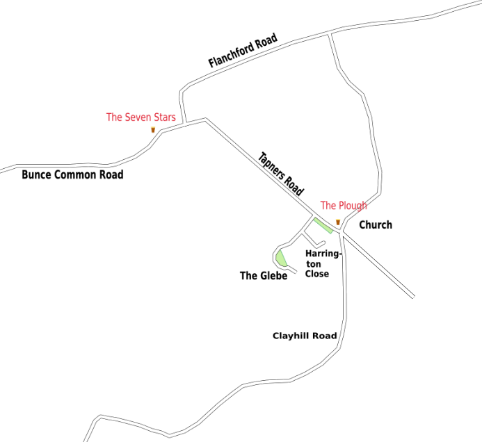
This map was created from OpenStreetMap project data, collected by the community. This map may be incomplete, and may contain errors. Don't rely solely on it for navigation. |
| Date | (see file history) |
| Source | You may find a page on the OpenStreetMap wiki page for Leigh |
| Creator |
OpenStreetMap contributors |
| Permission (Reusing this file) |
OpenStreetMap data and maps are licensed under the Creative Commons Attribution-ShareAlike 2.0 license (CC-BY-SA 2.0). This file is licensed under the Creative Commons Attribution-Share Alike 2.0 Generic license.
|
| Georeferencing | If inappropriate please set warp_status = skip to hide. |
File history
Click on a date/time to view the file as it appeared at that time.
| Date/Time | Thumbnail | Dimensions | User | Comment | |
|---|---|---|---|---|---|
| current | 22:21, 6 November 2006 | | 693 × 636 (70 KB) | Ojw~commonswiki (talk | contribs) | |
| 21:34, 6 November 2006 |  | 900 × 800 (73 KB) | Ojw~commonswiki (talk | contribs) | {{openstreetmap}} |
You cannot overwrite this file.
File usage on Commons
There are no pages that use this file.