File:Libědice - Pilíř Nejsvětější trojice (od 2012 in Zelená).jpg
Jump to navigation
Jump to search

Size of this preview: 399 × 599 pixels. Other resolutions: 160 × 240 pixels | 320 × 480 pixels | 512 × 768 pixels | 682 × 1,024 pixels | 1,365 × 2,048 pixels | 2,901 × 4,352 pixels.
Original file (2,901 × 4,352 pixels, file size: 4.23 MB, MIME type: image/jpeg)
Captions
Captions
Add a one-line explanation of what this file represents
Summary
[edit]| Description |
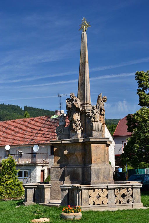
Čeština: Sloup se sousoším Nejsvětější Trojice (Libědice), v roce 2012 přesunutý do Zelené u Chomutova
Deutsch: Dreifaltigkeitssäule mit den Statuen des hl. Johannes von Nepomuk, des hl. Florian und des hl. Donatus in Zelená (Grün), OT von Malkov (1726) von Johann Adam Dietz |
|||
| Date | ||||
| Source |
Own work
|
|||
| Author | Petr Kinšt | |||
| Permission (Reusing this file) |
I, the copyright holder of this work, hereby publish it under the following license: This file is licensed under the Creative Commons Attribution-Share Alike 3.0 Unported license.
|


.jpg&action=edit§ion=1)
| Camera location | | View this and other nearby images on: OpenStreetMap |
|---|
.jpg¶ms=050.445220_N_0013.317370_E_globe:Earth_type:camera__&language=en)
|
This is a photo of a cultural monument of the Czech Republic,
number: 45399/5-578. |
File history
Click on a date/time to view the file as it appeared at that time.
| Date/Time | Thumbnail | Dimensions | User | Comment | |
|---|---|---|---|---|---|
| current | 13:03, 1 September 2013 | | 2,901 × 4,352 (4.23 MB) | Petr Kinšt (talk | contribs) | User created page with UploadWizard |
You cannot overwrite this file.
File usage on Commons
The following page uses this file:
File usage on other wikis
The following other wikis use this file:
- Usage on cs.wikipedia.org
- Usage on de.wikipedia.org
- Usage on www.wikidata.org
.jpg&oldid=541230625)