File:Lienchiang County Health Bureau and Lienchiang County Hospital 20140405.jpg
Jump to navigation
Jump to search

Size of this preview: 800 × 340 pixels. Other resolutions: 320 × 136 pixels | 640 × 272 pixels | 1,024 × 435 pixels | 1,280 × 544 pixels | 2,560 × 1,088 pixels | 5,373 × 2,284 pixels.
Original file (5,373 × 2,284 pixels, file size: 3.08 MB, MIME type: image/jpeg)
Captions
Captions
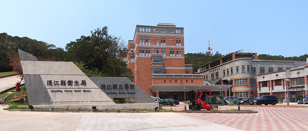
Lienchiang County Health Bureau<br>Lienchiang County Hospital
Summary[edit]
| Description |
中文(臺灣):連江縣衛生局、連江縣立醫院,位於中華民國福建省連江縣南竿鄉。 English: Lienchiang County Health Bureau and Lienchiang County Hosptial in Nangan (Nankan) Township, Fujian (Fukien) Province, Taiwan (ROC). |
||
| Date | Taken on 5 April 2014 | ||
| Source | https://web.archive.org/web/20161031144628/http://www.panoramio.com/photo/110851614 | ||
| Author | rheins | ||
| Permission (Reusing this file) |
This file is licensed under the Creative Commons Attribution 3.0 Unported license. Attribution: rheins
|
||
| Tags (from Panoramio photo page) | 馬祖 - Matsu Islands |
| Camera location | | View this and other nearby images on: OpenStreetMap |
|---|
File history
Click on a date/time to view the file as it appeared at that time.
| Date/Time | Thumbnail | Dimensions | User | Comment | |
|---|---|---|---|---|---|
| current | 01:24, 16 April 2017 | | 5,373 × 2,284 (3.08 MB) | Panoramio upload bot (talk | contribs) | == {{int:filedesc}} == {{Information |description=(中华民国)连江县立医院 - Lianjiang County (R.O.C.) Hospital - 2014.04 |date={{Taken on|2014-04-05}} |source=http://www.panoramio.com/photo/110851614 |author=[http://www.panoramio.com/user/5226... |
You cannot overwrite this file.
File usage on Commons
The following 2 pages use this file:
%E8%BF%9E%E6%B1%9F%E5%8E%BF%E7%AB%8B%E5%8C%BB%E9%99%A2_-_Lianjiang_County_(R.O.C.)_Hospital_-_2014.04_-_panoramio.jpg&redirect=no)
File usage on other wikis
The following other wikis use this file:
- Usage on en.wikipedia.org
- Usage on en.wiktionary.org
- Usage on zh.wikivoyage.org