File:Lilly Mountain range in the fall - panoramio (19).jpg
Jump to navigation
Jump to search
Size of this preview: 800 × 533 pixels. Other resolutions: 320 × 213 pixels | 640 × 427 pixels | 1,024 × 683 pixels | 1,280 × 853 pixels | 2,560 × 1,707 pixels | 5,184 × 3,456 pixels.
Original file (5,184 × 3,456 pixels, file size: 1.54 MB, MIME type: image/jpeg)
Captions
Captions
Add a one-line explanation of what this file represents
Summary[edit]
.jpg&action=edit§ion=1)
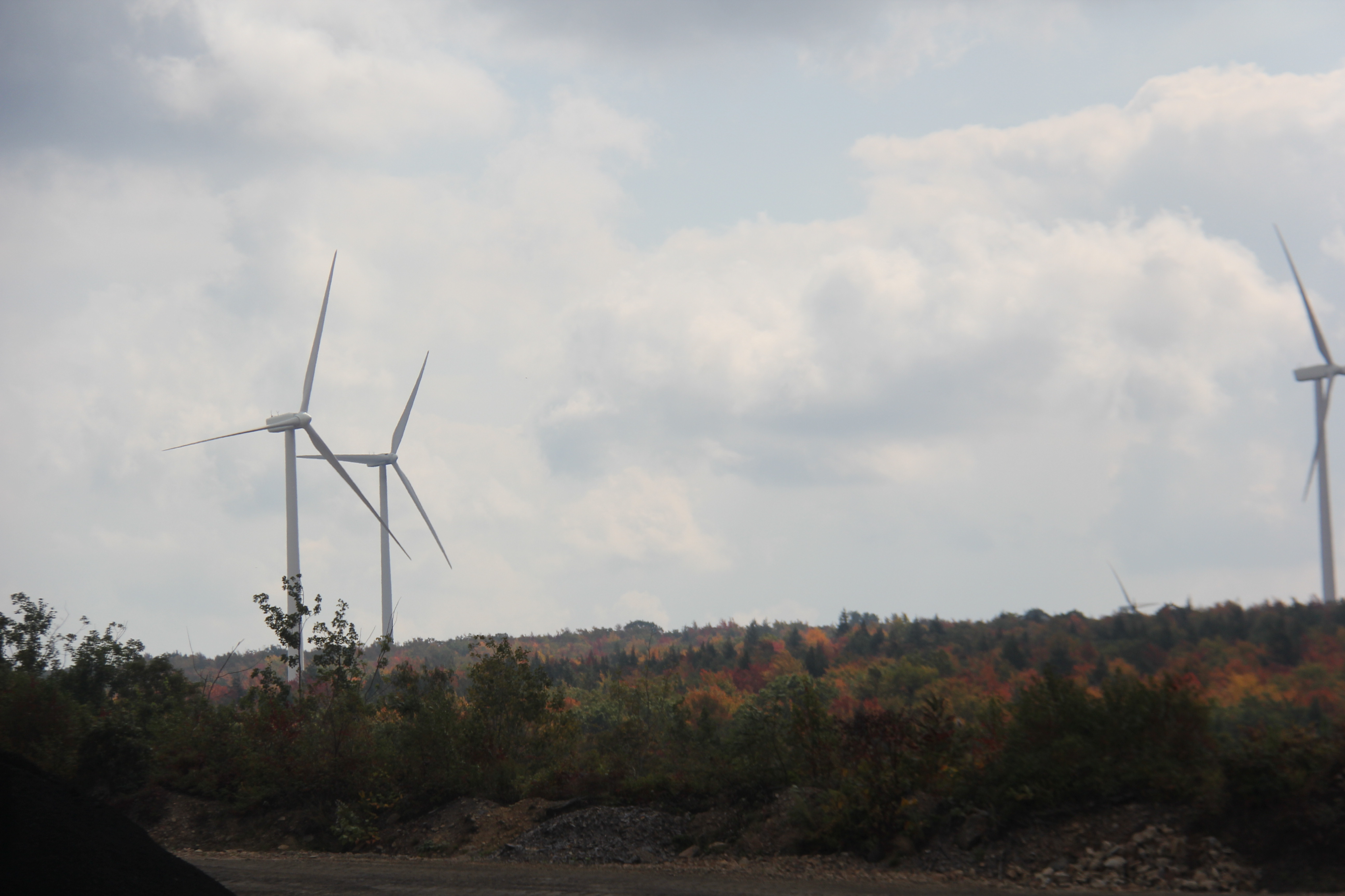
| Description | Lilly Mountain range in the fall | ||
| Date | Taken on 1 October 2013 | ||
| Source | https://web.archive.org/web/20161030061632/http://www.panoramio.com/photo/97143951 | ||
| Author | Ron Shawley | ||
| Permission (Reusing this file) |
This file is licensed under the Creative Commons Attribution 3.0 Unported license. Attribution: Ron Shawley
|
||
| Tags (from Panoramio photo page) | Cresson Township, 2013, bench mark, bike trail, biking, bob cat\, cambria county, canon eos 60D, clouds, conservation camp, country club, county, cresson, Dam, damage, deer, Fall, fall on the river, fire tower, fog, fog hills valley, forest, forest lake state park, hiking, johnstown fall attractions tourisim, laurel Highlands Historical Village, Lemon House, lemon house, LHHV, LHHV Forest, LHHV. laurel highlands historical village, lightning, Lilly, lilly pa, mountain lion, Mountains, oswego new york fall clouds sunrise team accukidz, outdoors, owl, PA, Panarama Conemaugh gap, park, Portage Railroad, Rothrock state forest, slag, snake, Water, wildlife. birds, wind, windmill, windmills, windmills wind energy summer weather accukidz conservation, windy |
| Camera location | | View this and other nearby images on: OpenStreetMap |
|---|
.jpg¶ms=040.423363_N_-078.563147_E_globe:Earth_type:camera_source:Panoramio_&language=en)
File history
Click on a date/time to view the file as it appeared at that time.
| Date/Time | Thumbnail | Dimensions | User | Comment | |
|---|---|---|---|---|---|
| current | 13:03, 15 March 2017 | | 5,184 × 3,456 (1.54 MB) | Panoramio upload bot (talk | contribs) | == {{int:filedesc}} == {{Information |description=Lilly Mountain range in the fall |date={{Taken on|2013-10-01}} |source=http://www.panoramio.com/photo/97143951 |author=[http://www.panoramio.com/user/143517?with_photo_id=97143951 Ron Shawley] |permissi... |
You cannot overwrite this file.
File usage on Commons
There are no pages that use this file.
.jpg&oldid=564670657)