File:Lisberg im Landkreis Bamberg.png
Here nagîvasyonê
Here lêgerînê
Mezinahiya vê pêşdîtinê: 800 × 574 pîksel. Resolusyonên din: 320 × 230 pîksel | 640 × 460 pîksel | 961 × 690 pîksel.
Dosyeya orjînal (961 × 690 pixel, mezinbûnê data: 16 KB, MIME-typ: image/png)
Captions
Captions
Add a one-line explanation of what this file represents
Danasîn[biguhêre]
| Danasîn |
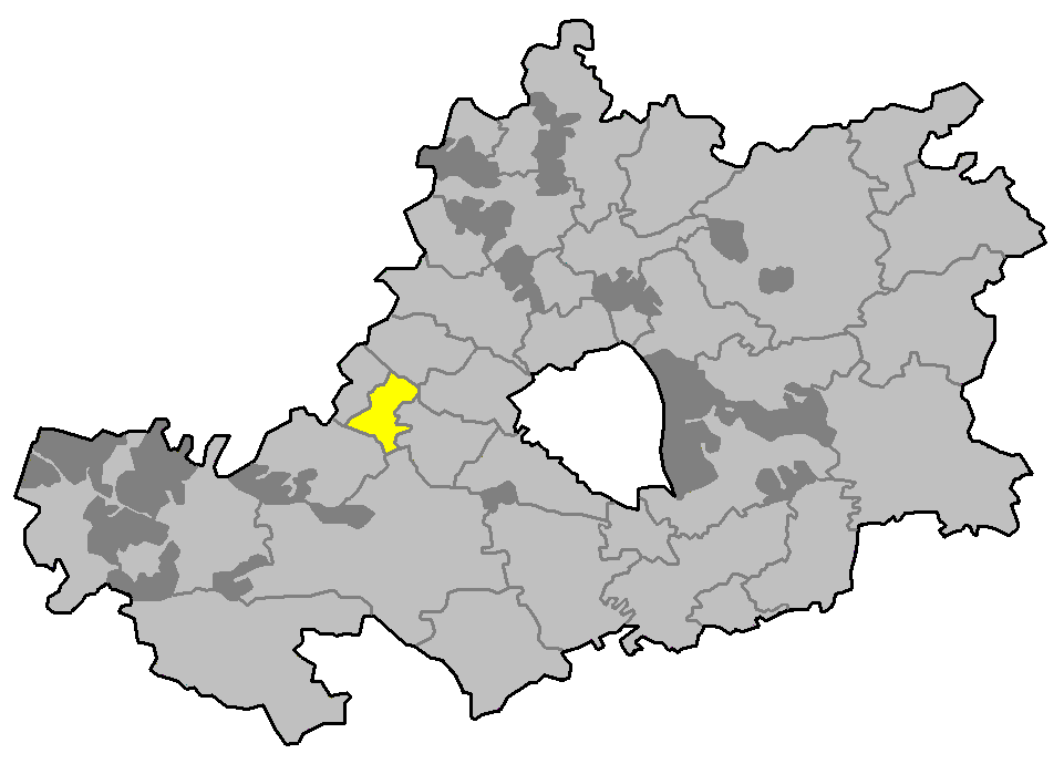
English: locator map of communities in the district (Landkreis) of Bamberg in Bavaria, Germany |
| Çavkanî | Min çêkir |
| Xwedî | Immanuel Giel |
Lîsans[biguhêre]
| I, the copyright holder of this work, release this work into the public domain. This applies worldwide. In some countries this may not be legally possible; if so: I grant anyone the right to use this work for any purpose, without any conditions, unless such conditions are required by law. |
Dîroka daneyê
Ji bo dîtina guhartoya wê demê bişkoka dîrokê bitikîne.
| Dîrok/Katjimêr | Wêneyê biçûk | Mezinahî | Bikarhêner | Şirove | |
|---|---|---|---|---|---|
| niha | 08:57, 6 adar 2006 | | 961 x 690 (16 KB) | Immanuel Giel (gotûbêj | beşdarî) | '''Description''': locator map of communities in the district (Landkreis) of Bamberg in Bavaria, Germany <br> '''Source''': own work --~~~~<br>'''Other versions''': none {{PD-self}} Category:Maps of Upper Franconia |
Tu nikarî cardin li ser vê dosyeyê binivîsînî.
Bikaranîna pelê
Rûpelekî ku ji vê dosyeyê bi kar tîne nîne.
Bikaranîna gerdûnî ya pelê
Ev wîkiyên di rêzê de vê pelê bi kar tînin:
- Bikaranîna di en.wikipedia.org de
- Bikaranîna di eo.wikipedia.org de
- Bikaranîna di fa.wikipedia.org de
- Bikaranîna di fr.wikipedia.org de
- Bikaranîna di ku.wikipedia.org de
- Bikaranîna di lmo.wikipedia.org de
- Bikaranîna di ms.wikipedia.org de
- Bikaranîna di nl.wikipedia.org de
- Bikaranîna di pt.wikipedia.org de
- Bikaranîna di simple.wikipedia.org de
- Bikaranîna di sv.wikipedia.org de