File:Lithuania - Location Map (2013) - LTU - UNOCHA.svg

Fitxer original (fitxer SVG, nominalment 251 × 251 píxels, mida del fitxer: 936 Ko)
Llegendes
Llegendes
Resum
[modifica]_-_LTU_-_UNOCHA.svg&action=edit§ion=1)
| Descripció |
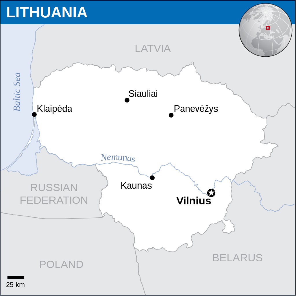
English: Locator map of Lithuania. |
| Data | |
| Font |
English: Lithuania Locator Map (ReliefWeb), ESRI, UNCS, Natural Earth, FAO |
| Autor | |
| SVG genesis | Aquesta imatge vectorial ha estat creada amb Inkscape. |
Llicència
[modifica]_-_LTU_-_UNOCHA.svg&action=edit§ion=2)
- Sou lliure de:
- compartir – copiar, distribuir i comunicar públicament l'obra
- adaptar – fer-ne obres derivades
- Amb les condicions següents:
- reconeixement – Heu de donar la informació adequada sobre l'autor, proporcionar un enllaç a la llicència i indicar si s'han realitzat canvis. Podeu fer-ho amb qualsevol mitjà raonable, però de cap manera no suggereixi que l'autor us dóna suport o aprova l'ús que en feu.
 This map is part of a collection of 216 free country maps, created by the UN Office for the Coordination of Humanitarian Affairs (OCHA), to be used in print, web or broadcast products.
The ReliefWeb Location Maps released here are maps that highlight a country, its capital, major populated places and the surrounding regions. Attribution Requirements
Using the map without modifications: ensure that the sources and the disclaimer are below the map. Credit as follows: "Credit: OCHA". For use with alteration: remove the OCHA logo and disclaimer following any modification to the map, but keep the data sources as mentioned below the map. Credit the modified map as follows: "Based on OCHA map". You are responsible for the content of your map. We are keen to receive your feedback and hear how you used OCHA's maps. We would be grateful if you would notify us by e-mail and share your work with us. UN Disclaimer
The designations employed and the presentation of material of this map do not imply the expression of any opinion whatsoever on the part of the Secretariat of the United Nations concerning the legal status of any country, territory, city or area or of its authorities or concerning the delimitation of its frontiers or boundaries. |
Historial del fitxer
Cliqueu una data/hora per veure el fitxer tal com era aleshores.
| Data/hora | Miniatura | Dimensions | Usuari/a | Comentari | |
|---|---|---|---|---|---|
| actual | 15:44, 1 juny 2024 | | 251 × 251 (936 Ko) | J4keeS237 (discussió | contribucions) | File uploaded using svgtranslate tool (https://svgtranslate.toolforge.org/). Added translation for ka. |
| 15:39, 1 juny 2024 |  | 251 × 251 (936 Ko) | J4keeS237 (discussió | contribucions) | File uploaded using svgtranslate tool (https://svgtranslate.toolforge.org/). Added translation for ka. | |
| 15:35, 24 des 2022 |  | 251 × 251 (932 Ko) | Wikijahnn (discussió | contribucions) | File uploaded using svgtranslate tool (https://svgtranslate.toolforge.org/). Added translation for ca. | |
| 06:40, 7 set 2016 |  | 251 × 251 (930 Ko) | Wereldburger758 (discussió | contribucions) | Resized page to drawing. Removal watermark. Validation of image. | |
| 04:41, 21 abr 2014 |  | 254 × 254 (912 Ko) | UN OCHA maps bot (discussió | contribucions) | == {{int:filedesc}} == {{Information |description={{en|1=Locator map of Lithuania.}} |date=2013 |source={{en|1=[http://reliefweb.int/map/lithuania/lithuania-location-map-2013 Lithuania Locator Map (ReliefWeb)]}} |author={{en|1=[[w:en... |
No podeu sobreescriure aquest fitxer.
Ús del fitxer
No hi ha pàgines que utilitzin aquest fitxer.
Ús global del fitxer
Utilització d'aquest fitxer en altres wikis:
- Utilització a ca.wikipedia.org
- Utilització a es.wikipedia.org
- Utilització a eu.wikipedia.org
- Utilització a id.wikipedia.org
- Utilització a ka.wikipedia.org
- Utilització a min.wikipedia.org
_-_LTU_-_UNOCHA.svg&oldid=880610243)