File:LocationIndianOcean.png
Salta a la navegació
Salta a la cerca
Mida d'aquesta previsualització: 800 × 405 píxels. Altres resolucions: 320 × 162 píxels | 640 × 324 píxels | 1.024 × 519 píxels | 1.280 × 648 píxels | 2.760 × 1.398 píxels.
Fitxer original (2.760 × 1.398 píxels, mida del fitxer: 91 Ko, tipus MIME: image/png)
Llegendes
Llegendes
Afegeix una explicació d'una línia del que representa aquest fitxer
Resum[modifica]
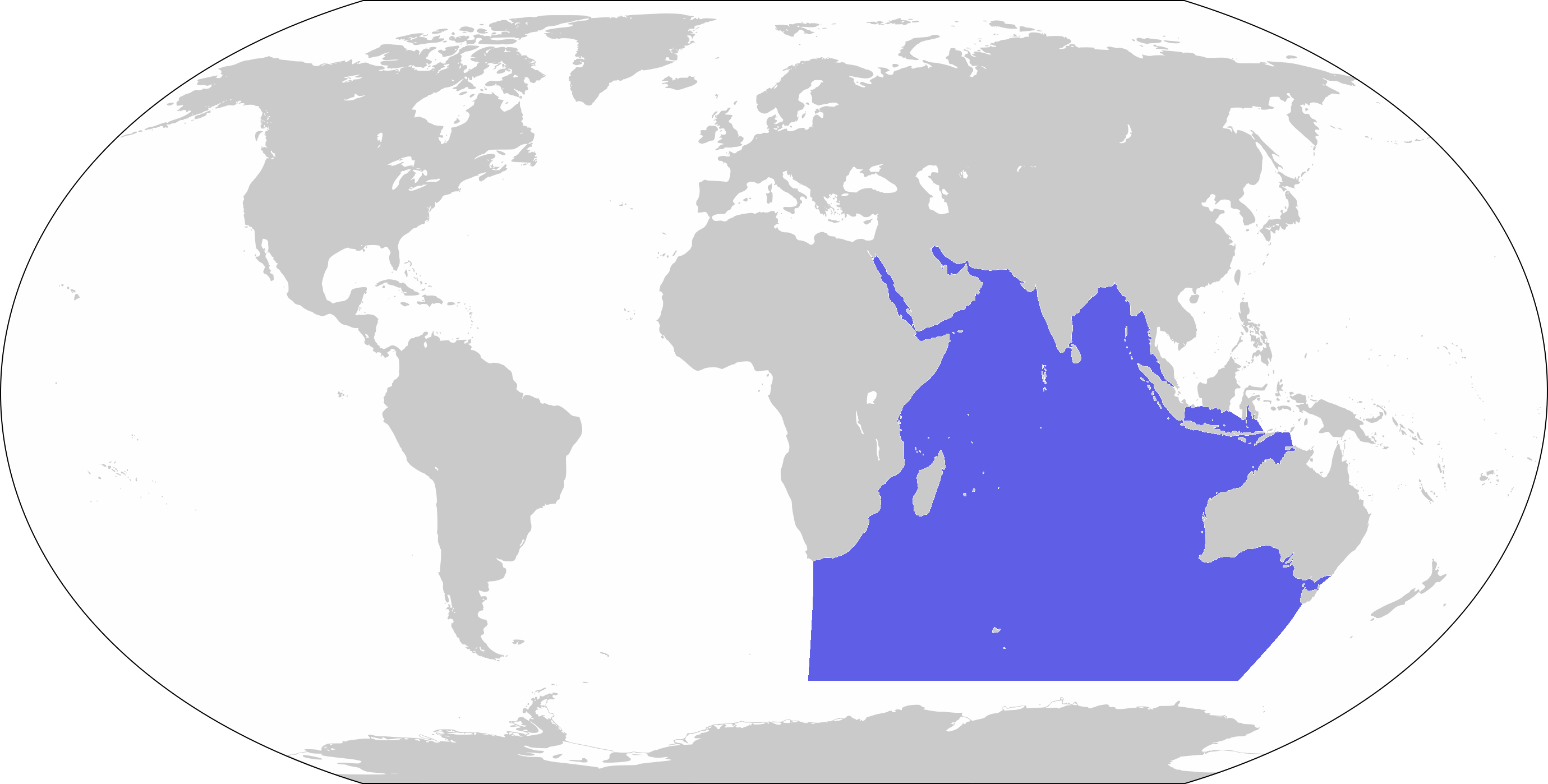
| Descripció | World map depicting Indian Ocean; map adapted from PDF World map at CIA World Fact Book |
| Data | |
| Font | 800px-LocationBlank.png |
| Autor | user:Xfigpower |
Llicència[modifica]
This image is in the public domain because it contains materials that originally came from the United States Central Intelligence Agency's World Factbook.
|
 |
Historial del fitxer
Cliqueu una data/hora per veure el fitxer tal com era aleshores.
| Data/hora | Miniatura | Dimensions | Usuari/a | Comentari | |
|---|---|---|---|---|---|
| actual | 10:39, 27 març 2019 | | 2.760 × 1.398 (91 Ko) | Lasunncty (discussió | contribucions) | Higher resolution and more accurate boundaries |
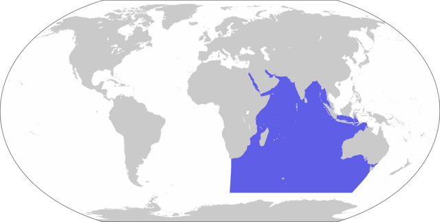
| 13:56, 30 nov 2006 |  | 800 × 407 (72 Ko) | Xfigpower (discussió | contribucions) | {{Information |Description=World map depicting Indian Ocean; map adapted from PDF World map at CIA World Fact Book |Source=800px-LocationBlank.png |Date=2006-11-30 |Author=user:Xfigpower |Permission |
No podeu sobreescriure aquest fitxer.
Ús del fitxer
Les 3 pàgines següents utilitzen aquest fitxer:
- User:DieBuche/resized3
- File:800px-LocationIndianOcean.png (fitxer redirigit)
Ús global del fitxer
Utilització d'aquest fitxer en altres wikis:
- Utilització a an.wikipedia.org
- Utilització a ar.wikipedia.org
- جزر القمر
- مضيق هرمز
- الخليج العربي
- سريلانكا
- المحيط الهندي
- زلزال وتسونامي المحيط الهندي 2004
- المحيط الهادئ
- قناة السويس
- تصنيف:جزر القمر
- نياس
- المالديف
- سيشل
- مدغشقر
- موريشيوس
- بنط
- شبه الجزيرة العربية
- تصنيف:موريشيوس
- بحر العرب
- باس (مضيق)
- ميناء جبل علي
- البحر الأحمر
- برنيس
- سفاجا
- ماليه
- باب المندب
- خليج العقبة
- خليج السويس
- بوبيان
- جسر الملك فهد
- فيلكا
- اللؤلؤة قطر
- مومباسا
- مايوت
- تيران (مضيق)
- معركة ديو
- بالي
- الحلانيات (جزر)
- زلزال سومطرة 2005
- تصنيف:مدغشقر
- مقديشو
- جاوة
- بورتسودان
- حادث عبارة السلام 98
- المحيط المتجمد الشمالي
- خليج عدن
- القرن الإفريقي
- سترة (البحرين)
- سومطرة
Vegeu més usos globals d'aquest fitxer.