File:Location Verkhoyansk Range.PNG
跳去導覽
跳去搵嘢
冇更高解像度嘅圖像。
Location_Verkhoyansk_Range.PNG (696 × 427 像素,檔案大細:225 KB ,MIME類型:image/png)
Captions
Captions
Add a one-line explanation of what this file represents
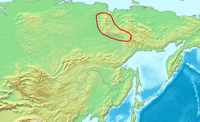
| 描述 | Location Verkhoyansk Range.PNG |
| 來源 | 自己作品 |
| 作者 | Michiel1972, using demis maps |
This image is in the public domain because it came from the site https://www.demis.nl/products/web-map-server/examples/ and was released by the copyright holder. Permission is granted to copy, distribute and/or modify this map since it is based on free of copyright images from: www.demis.nl. See also approval email on de.wp and its clarification.
|
| This work has been released into the public domain by its copyright holder, www.demis.nl. This applies worldwide. In some countries this may not be legally possible; if so: www.demis.nl grants anyone the right to use this work for any purpose, without any conditions, unless such conditions are required by law.
|
檔案歷史
撳個日期/時間去睇響嗰個時間出現過嘅檔案。
| 日期/時間 | 縮圖 | 尺寸 | 用戶 | 註解 | |
|---|---|---|---|---|---|
| 現時 | 2007年7月2號 (一) 13:30 | | 696 × 427(225 KB) | Michiel1972(傾偈 | 貢獻) | {{Information |Description={{subst:PAGENAME}} |Source=self-made |Date= |Author= Michiel1972, using demis maps }} {{PD-demis}} category:Maps of mountain ranges of Asia |
你無得衾咗個檔案。
檔案用途
全域檔案使用情況
下面嘅維基都用緊呢個檔案:
- ar.wikipedia.org嘅使用情況
- arz.wikipedia.org嘅使用情況
- ast.wikipedia.org嘅使用情況
- az.wikipedia.org嘅使用情況
- ba.wikipedia.org嘅使用情況
- be.wikipedia.org嘅使用情況
- bg.wikipedia.org嘅使用情況
- ca.wikipedia.org嘅使用情況
- ceb.wikipedia.org嘅使用情況
- ckb.wikipedia.org嘅使用情況
- cs.wikipedia.org嘅使用情況
- da.wikipedia.org嘅使用情況
- de.wikipedia.org嘅使用情況
- eo.wikipedia.org嘅使用情況
- es.wikipedia.org嘅使用情況
- et.wikipedia.org嘅使用情況
- eu.wikipedia.org嘅使用情況
- fi.wikipedia.org嘅使用情況
- fr.wikipedia.org嘅使用情況
- gl.wikipedia.org嘅使用情況
- hy.wikipedia.org嘅使用情況
- it.wikipedia.org嘅使用情況
- ja.wikipedia.org嘅使用情況
- ko.wikipedia.org嘅使用情況
- ky.wikipedia.org嘅使用情況
- la.wikipedia.org嘅使用情況
- lt.wikipedia.org嘅使用情況
- nl.wikipedia.org嘅使用情況
- nn.wikipedia.org嘅使用情況
- no.wikipedia.org嘅使用情況
- pl.wikipedia.org嘅使用情況
- pl.wiktionary.org嘅使用情況
- pt.wikipedia.org嘅使用情況
- ru.wikipedia.org嘅使用情況
- sk.wikipedia.org嘅使用情況
- sv.wikipedia.org嘅使用情況
- uk.wikipedia.org嘅使用情況
- vi.wikipedia.org嘅使用情況
- www.wikidata.org嘅使用情況
- zh-yue.wikipedia.org嘅使用情況