File:Location map Martinez.png
Jump to navigation
Jump to search

Size of this preview: 698 × 599 pixels. Other resolutions: 280 × 240 pixels | 559 × 480 pixels | 895 × 768 pixels | 1,193 × 1,024 pixels | 2,155 × 1,850 pixels.
Original file (2,155 × 1,850 pixels, file size: 4.77 MB, MIME type: image/png)
Captions
Captions
This map may be incomplete, and may contain errors. Don't rely solely on it for navigation.
Summary
[edit]
| Description |
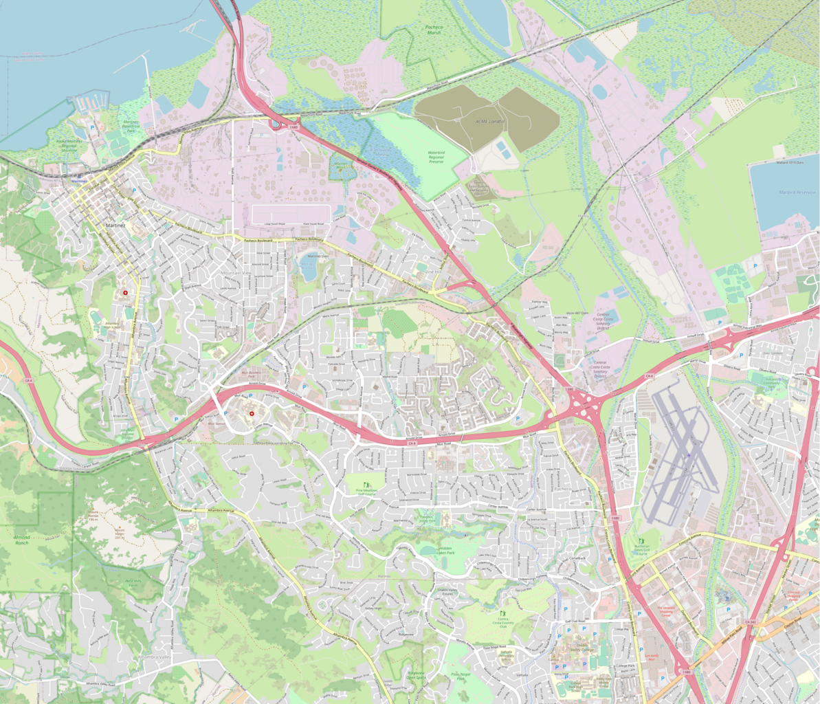
English: This map of Martinez and vicinity was created from OpenStreetMap project data, collected by the community. |
| Date | |
| Source | openstreetmap.org |
| Author | DenbyDoo |
Licensing
[edit]
This file is licensed under the Creative Commons Attribution-Share Alike 2.0 Generic license.
- You are free:
- to share – to copy, distribute and transmit the work
- to remix – to adapt the work
- Under the following conditions:
- attribution – You must give appropriate credit, provide a link to the license, and indicate if changes were made. You may do so in any reasonable manner, but not in any way that suggests the licensor endorses you or your use.
- share alike – If you remix, transform, or build upon the material, you must distribute your contributions under the same or compatible license as the original.
File history
Click on a date/time to view the file as it appeared at that time.
| Date/Time | Thumbnail | Dimensions | User | Comment | |
|---|---|---|---|---|---|
| current | 07:30, 28 March 2022 | | 2,155 × 1,850 (4.77 MB) | DenbyDoo (talk | contribs) | Changed resolution from MM to PX |
| 07:14, 28 March 2022 |  | 25,452 × 21,862 (161.07 MB) | DenbyDoo (talk | contribs) | Uploaded a work by DenbyDoo from openstreetmap.org with UploadWizard |
You cannot overwrite this file.
File usage on Commons
There are no pages that use this file.