File:Location map Ryukyu Islands.png
跳至導覽
跳至搜尋
預覽大小:800 × 490 像素。 其他解析度:320 × 196 像素 | 640 × 392 像素 | 1,024 × 628 像素 | 1,457 × 893 像素。
原始檔案 (1,457 × 893 像素,檔案大小:797 KB,MIME 類型:image/png)
說明
說明
添加單行說明來描述出檔案所代表的內容

|
本圖片是以PNG、GIF或JPEG格式上傳。然而,其中包含的資料或訊息,應該重新建立成可縮放向量圖形(SVG)檔案,以更有效率或更準確的方式儲存。如有可能,請上傳本圖片的SVG格式版本。在上傳之後,請修改維基各姊妹計畫中所有使用舊版圖片的條目(列在圖像連結章節中),替換為新版圖片,並在舊圖片的描述頁中加入{{Vector version available|新圖片名稱.svg}}模板,同時移除本模板。
|
摘要
[編輯]
| 描述 |
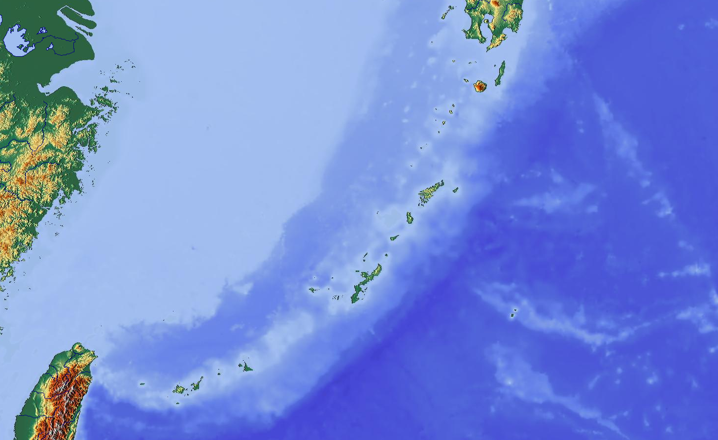
English: Map showing Ryukyu Islands for pin
|
| 日期 | |
| 來源 | http://www.maps-for-free.com/ |
| 作者 | Modified by Dr. Blofeld |
| 授權許可 (重用此檔案) |
http://www.maps-for-free.com/html/about.html |
| 其他版本 |
|
授權條款
[編輯]
本幅螢幕擷圖不包含部份或全部的著作權保護程式,或其作者已將該程式以自由授權發佈,並遵循維基共享資源的授權指南。您可根據其授權自由使用本幅截圖。 自由軟體授權:

|
此作品為自由軟體;您可依自由軟體基金會所發表的GNU通用公共授權條款的條款散佈與/或修改,無論您依據的是本授權條款的第2版本或之後的任何版本。本作品發佈的目的是希望可以提供幫助,但不負任何擔保責任;亦無隱含對適售性或特定用途的適用性的情形擔保。請參考GNU通用公共授權條款的第2版與第3版。 |
註:如果本幅截圖並非直接顯示出該程式碼本身的執行結果,例如非該程式有關之圖文,那麼這部份的授權必需分別指明。
此檔案採用創用CC 姓名標示 3.0 未在地化版本授權條款。
- 您可以自由:
- 分享 – 複製、發佈和傳播本作品
- 重新修改 – 創作演繹作品
- 惟需遵照下列條件:
- 姓名標示 – 您必須指名出正確的製作者,和提供授權條款的連結,以及表示是否有對內容上做出變更。您可以用任何合理的方式來行動,但不得以任何方式表明授權條款是對您許可或是由您所使用。
檔案歷史
點選日期/時間以檢視該時間的檔案版本。
| 日期/時間 | 縮圖 | 尺寸 | 使用者 | 備註 | |
|---|---|---|---|---|---|
| 目前 | 2012年10月26日 (五) 15:03 | | 1,457 × 893(797 KB) | Blofeld Dr.(留言 | 貢獻) | {{Information |Description ={{en|1=y}} |Source =y |Author =y |Date =y |Permission = |other_versions = }} |
無法覆蓋此檔案。
檔案用途
下列3個頁面有用到此檔案:
全域檔案使用狀況
以下其他 wiki 使用了這個檔案:
- ar.wikipedia.org 的使用狀況
- ceb.wikipedia.org 的使用狀況
- en.wikipedia.org 的使用狀況
- Sakishima Islands
- Yonaguni
- Kerama Islands
- Okinawa Island
- Third Taiwan Strait Crisis
- Iriomote-Ishigaki National Park
- Daitō Islands
- Minami-Daito Airport
- Kitadaito Airport
- Naha Airport Station
- Gusuku Sites and Related Properties of the Kingdom of Ryukyu
- Ōike
- Izena Island
- Tsuken Island
- Kerama Shotō National Park
- Yambaru National Park
- User:Aom2-vh3/sandbox
- VH-3 (Rescue squadron)
- Sanchi oil tanker collision
- Talk:Sanchi oil tanker collision
- Module:Location map/data/Japan Ryukyu Islands
- Module:Location map/data/Japan Ryukyu Islands/doc
- User:Ty654/List of earthquakes exceeding magnitude 8+
- User:Ty654/List of earthquakes from 1900-1949 exceeding magnitude 7+
- User:Ty654/List of earthquakes from 1950-1999 exceeding magnitude 7+
- User:Ty654/List of earthquakes from 2000-present exceeding magnitude 7+
- User:Ty654/List of earthquakes from 1920-1929 exceeding magnitude 6+
- User:Ty654/List of earthquakes from 1930-1939 exceeding magnitude 6+
- User:Ty654/List of earthquakes from 1940-1949 exceeding magnitude 6+
- User:Ty654/List of earthquakes from 1950-1954 exceeding magnitude 6+
- User:Ty654/List of earthquakes from 1955-1959 exceeding magnitude 6+
- User:Ty654/List of earthquakes from 1960-1964 exceeding magnitude 6+
- User:Ty654/List of earthquakes from 1965-1969 exceeding magnitude 6+
- User:Ty654/List of earthquakes from 1970-1974 exceeding magnitude 6+
- User:Ty654/List of earthquakes from 1975-1979 exceeding magnitude 6+
- User:Ty654/List of earthquakes from 1980-1984 exceeding magnitude 6+
- User:Ty654/List of earthquakes from 1985-1989 exceeding magnitude 6+
- User:Ty654/List of earthquakes from 1990-1994 exceeding magnitude 6+
- User:Ty654/List of earthquakes from 1995-1999 exceeding magnitude 6+
- User:Ty654/List of earthquakes from 2000-2004 exceeding magnitude 6+
- User:Ty654/List of earthquakes from 2005-2009 exceeding magnitude 6+
- User:Ty654/List of earthquakes from 2010-2014 exceeding magnitude 6+
- User:Ty654/List of earthquakes from 2015-2019 exceeding magnitude 6+
- Yonaguni Knoll IV
- Naval Base Okinawa
- fa.wikipedia.org 的使用狀況
檢視此檔案的更多全域使用狀況。