File:Location map Taifa of Almeria Arabic.svg
Jump to navigation
Jump to search

Size of this PNG preview of this SVG file: 711 × 599 pixels. Other resolutions: 285 × 240 pixels | 570 × 480 pixels | 911 × 768 pixels | 1,215 × 1,024 pixels | 2,430 × 2,048 pixels | 713 × 601 pixels.
Original file (SVG file, nominally 713 × 601 pixels, file size: 279 KB)
Captions
Captions
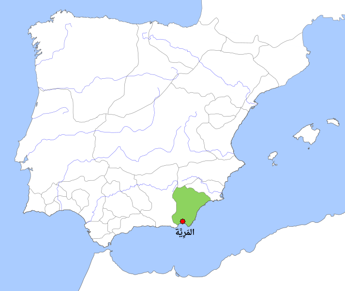
Location map of Taifa Kingdom of Almeria circa 1037.
Summary[edit]
| Description |
العربية: خارطة موقع طَائِفَة المَرِيَّة حوالي عام 1037م
English: Location map of Taifa Kingdom of Almeria circa 1037. |
| Date | |
| Source |
based on the work of User Tyk: Translation of the word (Almería) from Spanish to Arabic (المَرِيَّة). Original work: Location map Taifa of Almería.svg |
| Author | |
| Other versions |
[]
|


| This is a retouched picture, which means that it has been digitally altered from its original version. Modifications: Translated to Arabic - عُرِّبت. The original can be viewed here: Location map Taifa of Almería.svg:
|
Licensing[edit]

|
Permission is granted to copy, distribute and/or modify this document under the terms of the GNU Free Documentation License, Version 1.2 or any later version published by the Free Software Foundation; with no Invariant Sections, no Front-Cover Texts, and no Back-Cover Texts. A copy of the license is included in the section entitled GNU Free Documentation License. |
| This file is licensed under the Creative Commons Attribution-Share Alike 3.0 Unported license. | ||
| ||
| This licensing tag was added to this file as part of the GFDL licensing update. |
File history
Click on a date/time to view the file as it appeared at that time.
| Date/Time | Thumbnail | Dimensions | User | Comment | |
|---|---|---|---|---|---|
| current | 06:54, 26 March 2024 | | 713 × 601 (279 KB) | DrFO.Tn (talk | contribs) | Arabic font |
| 06:50, 26 March 2024 |  | 713 × 601 (273 KB) | DrFO.Tn (talk | contribs) | Uploaded own work with UploadWizard |
You cannot overwrite this file.
File usage on Commons
The following 3 pages use this file:
File usage on other wikis
The following other wikis use this file:
- Usage on ar.wikipedia.org