File:Location of Chernyakhovsky District (Kaliningrad Oblast).svg
Jump to navigation
Jump to search

Size of this PNG preview of this SVG file: 800 × 500 pixels. Other resolutions: 320 × 200 pixels | 640 × 400 pixels | 1,024 × 640 pixels | 1,280 × 800 pixels | 2,560 × 1,599 pixels | 1,047 × 654 pixels.
Original file (SVG file, nominally 1,047 × 654 pixels, file size: 100 KB)
Captions
Captions
Add a one-line explanation of what this file represents
Summary[edit]
.svg&action=edit§ion=1)
| Description |
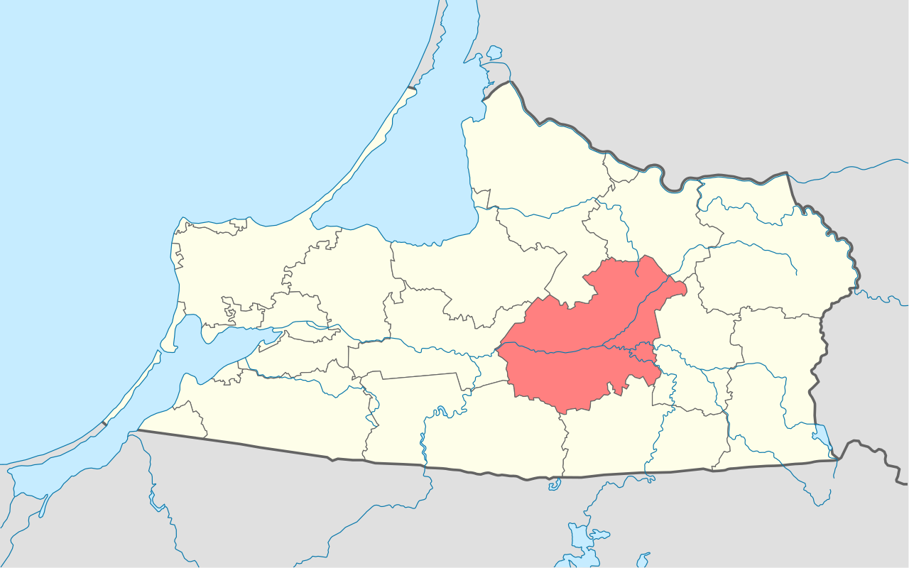
English: Image to indicate Kaliningrad Oblast districts. Subject as indicated by filename. |
| Date | |
| Source | |
| Author | derivative work Виктор В |
Licensing[edit]
.svg&action=edit§ion=2)
| I, the copyright holder of this work, release this work into the public domain. This applies worldwide. In some countries this may not be legally possible; if so: I grant anyone the right to use this work for any purpose, without any conditions, unless such conditions are required by law. |
File history
Click on a date/time to view the file as it appeared at that time.
| Date/Time | Thumbnail | Dimensions | User | Comment | |
|---|---|---|---|---|---|
| current | 19:34, 17 August 2010 | | 1,047 × 654 (100 KB) | Виктор В (talk | contribs) | == {{int:filedesc}} == {{Information |Description={{en|1=Image to indicate Kaliningrad Oblast districts. Subject as indicated by filename.}} |Source=File:Russia Kaliningrad location map.svg by {{U|NordNordWest}} * based on [[:File:Podział administra |
You cannot overwrite this file.
File usage on Commons
The following 2 pages use this file:
File usage on other wikis
The following other wikis use this file:
- Usage on be-tarask.wikipedia.org
- Usage on be.wikipedia.org
- Usage on ce.wikipedia.org
- Usage on de.wikipedia.org
- Usage on eo.wikipedia.org
- Usage on frr.wikipedia.org
- Usage on fr.wikipedia.org
- Usage on hy.wikipedia.org
- Usage on it.wikipedia.org
- Usage on lt.wikipedia.org
- Usage on lv.wikipedia.org
- Usage on no.wikipedia.org
- Usage on pl.wikipedia.org
- Usage on ru.wikipedia.org
- Usage on uk.wikipedia.org
- Usage on www.wikidata.org
- Usage on zh-min-nan.wikipedia.org
.svg&oldid=452241738)