File:Location of the Pacific Ocean.png
Salta a la navegació
Salta a la cerca
Mida d'aquesta previsualització: 800 × 405 píxels. Altres resolucions: 320 × 162 píxels | 640 × 324 píxels | 1.024 × 519 píxels | 1.280 × 648 píxels | 2.760 × 1.398 píxels.
Fitxer original (2.760 × 1.398 píxels, mida del fitxer: 284 Ko, tipus MIME: image/png)
Llegendes
Llegendes
Afegeix una explicació d'una línia del que representa aquest fitxer
Resum[modifica]
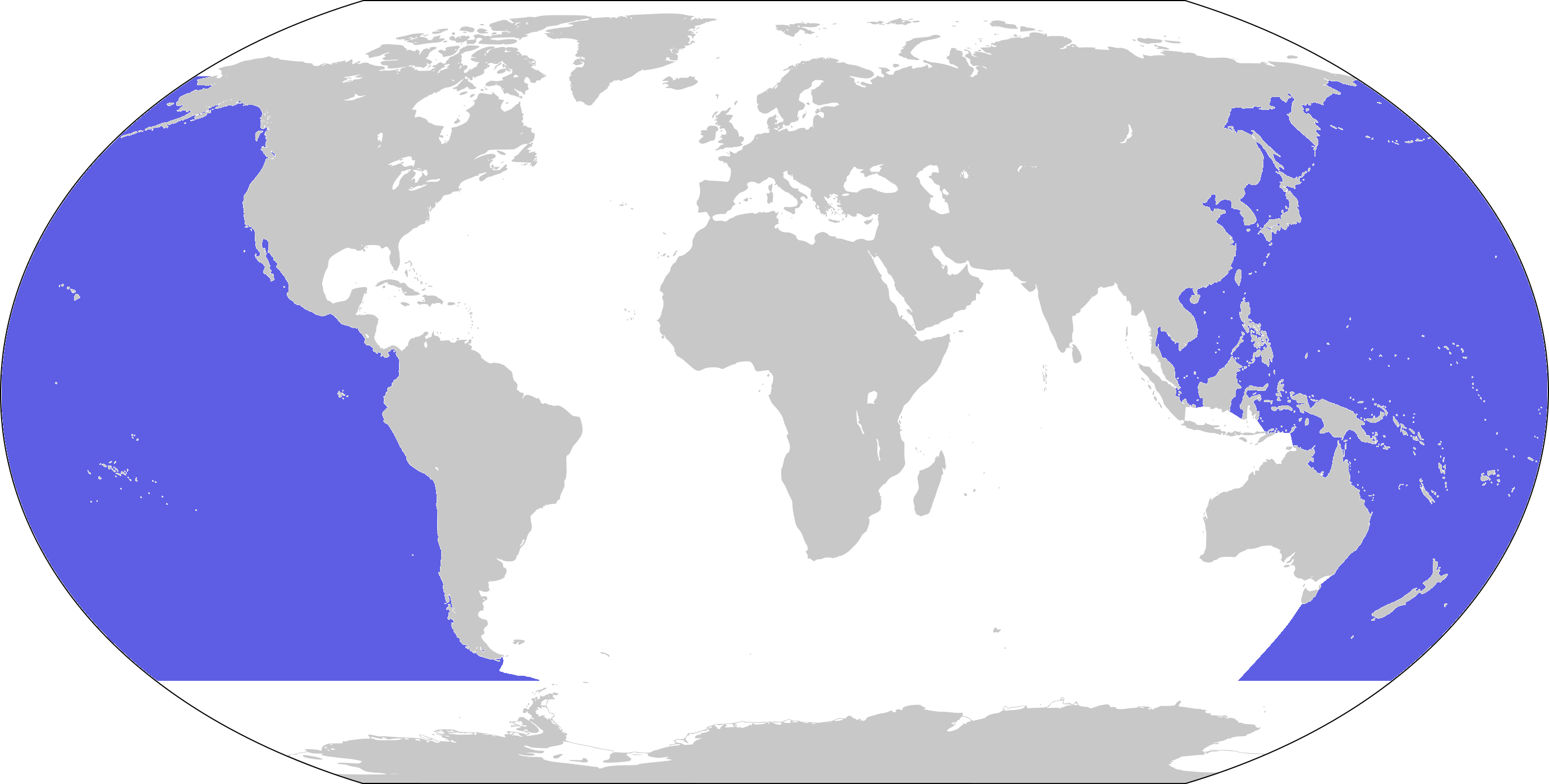
| Descripció | World map depicting Pacific Ocean; map adapted from PDF World map at CIA World Fact Book |
| Data | |
| Font | 800px-LocationBlank.png |
| Autor | user:Xfigpower |
Llicència[modifica]
This image is in the public domain because it contains materials that originally came from the United States Central Intelligence Agency's World Factbook.
|
 |
Historial del fitxer
Cliqueu una data/hora per veure el fitxer tal com era aleshores.
| Data/hora | Miniatura | Dimensions | Usuari/a | Comentari | |
|---|---|---|---|---|---|
| actual | 16:35, 5 feb 2024 | | 2.760 × 1.398 (284 Ko) | Janitoalevic (discussió | contribucions) | . |
| 08:33, 29 març 2019 |  | 2.760 × 1.398 (224 Ko) | Lasunncty (discussió | contribucions) | Higher resolution and more accurate boundaries | |
| 19:13, 2 juny 2018 |  | 800 × 407 (53 Ko) | Janitoalevic (discussió | contribucions) | . | |
| 13:56, 30 nov 2006 |  | 800 × 407 (74 Ko) | Xfigpower (discussió | contribucions) | {{Information |Description=World map depicting Pacific Ocean; map adapted from PDF World map at CIA World Fact Book |Source=800px-LocationBlank.png |Date=2006-11-30 |Author=user:Xfigpower |Permissi |
No podeu sobreescriure aquest fitxer.
Ús del fitxer
Les 3 pàgines següents utilitzen aquest fitxer:
- User:DieBuche/resized3
- File:800px-LocationPacificOcean.png (fitxer redirigit)
Ús global del fitxer
Utilització d'aquest fitxer en altres wikis:
- Utilització a an.wikipedia.org
- Utilització a ar.wikipedia.org
- المحيط الهندي
- المحيط الهادئ
- هاواي
- قناة بنما
- باس (مضيق)
- كوك (مضيق)
- كوريا (مضيق)
- البحر الأصفر
- تونغا
- تصنيف:فيجي
- المحيط المتجمد الشمالي
- المحيط الجنوبي
- فانواتو
- تصنيف:فانواتو
- جزيرة القيامة
- جزر بيتكيرن
- كاليدونيا الجديدة
- الساحل الغربي للولايات المتحدة
- بحر اليابان
- واليس وفوتونا
- جنوب شرق آسيا البري
- بحر الصين الجنوبي
- البحث عن نيمو
- خليج تونكين
- تصنيف:كيريباتي
- تصنيف:ناورو
- محيط (جغرافيا)
- خليج غينيا
- الحيد المرجاني العظيم
- بولينزيا الفرنسية
- نييوي
- شبه جزيرة كامشاتكا
- شبه جزيرة كوريا
- أرخبيل الملايو
- المدانون (فيلم)
- تصنيف:ساموا
- خليج سانتا مونيكا
- حوت شمال الهادي الصائب
- ناروتو (مضيق)
- بسكادورز
- غيم فورج
- جسر سان فرانسيسكو-أوكلاند
- جسر كاركينز
- خليج سان فرانسيسكو
- تاهيتيون
- معركة ميدواي
- بحر المرجان
- جزر الكوريل
- مضيق جولدن جيت
Vegeu més usos globals d'aquest fitxer.