File:Locator map of Serbia in Europe.png
Jump to navigation
Jump to search
No higher resolution available.
Locator_map_of_Serbia_in_Europe.png (710 × 600 pixels, file size: 137 KB, MIME type: image/png)
Captions
Captions
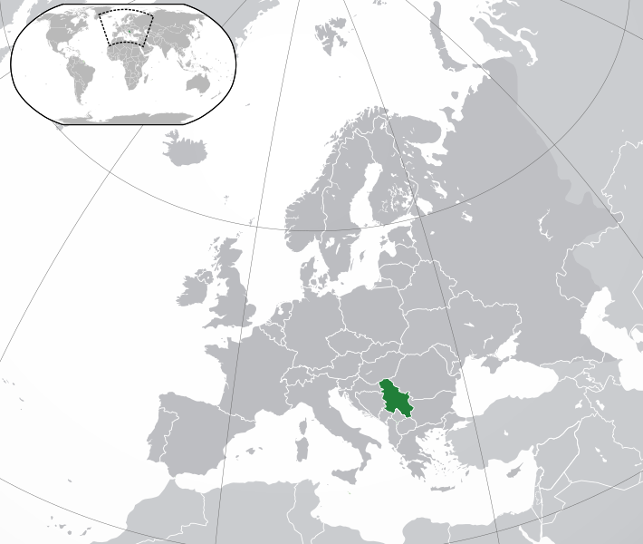
KOSOVO IS INDEPEDENCE
Summary[edit]
| Description |
English: KOSOVO IS INDEPEDENCE |
| Date | |
| Source | Paint |
| Author | 12345 |
Licensing[edit]
This file is licensed under the Creative Commons Attribution-Share Alike 4.0 International license.
- You are free:
- to share – to copy, distribute and transmit the work
- to remix – to adapt the work
- Under the following conditions:
- attribution – You must give appropriate credit, provide a link to the license, and indicate if changes were made. You may do so in any reasonable manner, but not in any way that suggests the licensor endorses you or your use.
- share alike – If you remix, transform, or build upon the material, you must distribute your contributions under the same or compatible license as the original.
File history
Click on a date/time to view the file as it appeared at that time.
| Date/Time | Thumbnail | Dimensions | User | Comment | |
|---|---|---|---|---|---|
| current | 20:05, 28 September 2020 | | 710 × 600 (137 KB) | Shkupi Kumanova 1234 (talk | contribs) | Uploaded a work by 12345 from Paint with UploadWizard |
You cannot overwrite this file.
File usage on Commons
The following page uses this file:
- File:Srbija.png (file redirect)