File:Longstreets Knoxville Campaign.png
Jump to navigation
Jump to search

Size of this preview: 563 × 599 pixels. Other resolutions: 225 × 240 pixels | 451 × 480 pixels | 722 × 768 pixels | 962 × 1,024 pixels | 1,558 × 1,658 pixels.
Original file (1,558 × 1,658 pixels, file size: 337 KB, MIME type: image/png)
Captions
Captions
Add a one-line explanation of what this file represents
Summary
[edit]

|
This military map image could be re-created using vector graphics as an SVG file. This has several advantages; see Commons:Media for cleanup for more information. If an SVG form of this image is available, please upload it and afterwards replace this template with
{{vector version available|new image name}}.
It is recommended to name the SVG file “Longstreets Knoxville Campaign.svg”—then the template Vector version available (or Vva) does not need the new image name parameter. |
| Description |
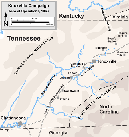
English: Map of the Knoxville Campaign of the American Civil War. Drawn by Hal Jespersen in Adobe Illustrator CS5. Graphic source file is available at http://www.posix.com/CWmaps/ |
| Date | 17 January 2007 (original upload date) |
| Source | Transferred from en.wikipedia to Commons by Lynntoniolondon. |
| Author | The original uploader was Hlj at English Wikipedia. |
Licensing
[edit]
This file is licensed under the Creative Commons Attribution 3.0 Unported license.
Attribution: Map by Hal Jespersen, www.posix.com/CW
- You are free:
- to share – to copy, distribute and transmit the work
- to remix – to adapt the work
- Under the following conditions:
- attribution – You must give appropriate credit, provide a link to the license, and indicate if changes were made. You may do so in any reasonable manner, but not in any way that suggests the licensor endorses you or your use.
Original upload log
[edit]
The original description page was here. All following user names refer to en.wikipedia.
- 2007-01-17 15:59 Hlj 776×799× (190695 bytes) Map of the [[Knoxville Campaign]] of the [[American Civil War]]. Drawn by Hal Jespersen in Macromedia Freehand. Graphic source file is available at http://www.posix.com/CWmaps/ {{PD-release}}
File history
Click on a date/time to view the file as it appeared at that time.
| Date/Time | Thumbnail | Dimensions | User | Comment | |
|---|---|---|---|---|---|
| current | 17:10, 25 March 2011 | | 1,558 × 1,658 (337 KB) | Hlj (talk | contribs) | Updated graphical style to more recent standards. Added legend/scale. |
| 01:15, 26 September 2010 |  | 776 × 799 (186 KB) | Lynntoniolondon (talk | contribs) | {{Information |Description={{en|1=Map of the Knoxville Campaign of the American Civil War.}} |Source=http://www.posix.com/CWmaps/ |Author=Hal Jespersen |Date= |Permission= |other_versions= }} |
You cannot overwrite this file.
File usage on Commons
There are no pages that use this file.
File usage on other wikis
The following other wikis use this file:
- Usage on fr.wikipedia.org
- Usage on hu.wikipedia.org
- Usage on it.wikipedia.org
- Usage on nl.wikipedia.org