File:Lugar actual de la Batalla de Ayacucho.jpg
Jump to navigation
Jump to search
Size of this preview: 800 × 600 pixels. Other resolutions: 320 × 240 pixels | 640 × 480 pixels | 1,024 × 768 pixels | 1,280 × 960 pixels | 2,560 × 1,920 pixels | 4,320 × 3,240 pixels.
Original file (4,320 × 3,240 pixels, file size: 5.31 MB, MIME type: image/jpeg)
Captions
Captions
Add a one-line explanation of what this file represents
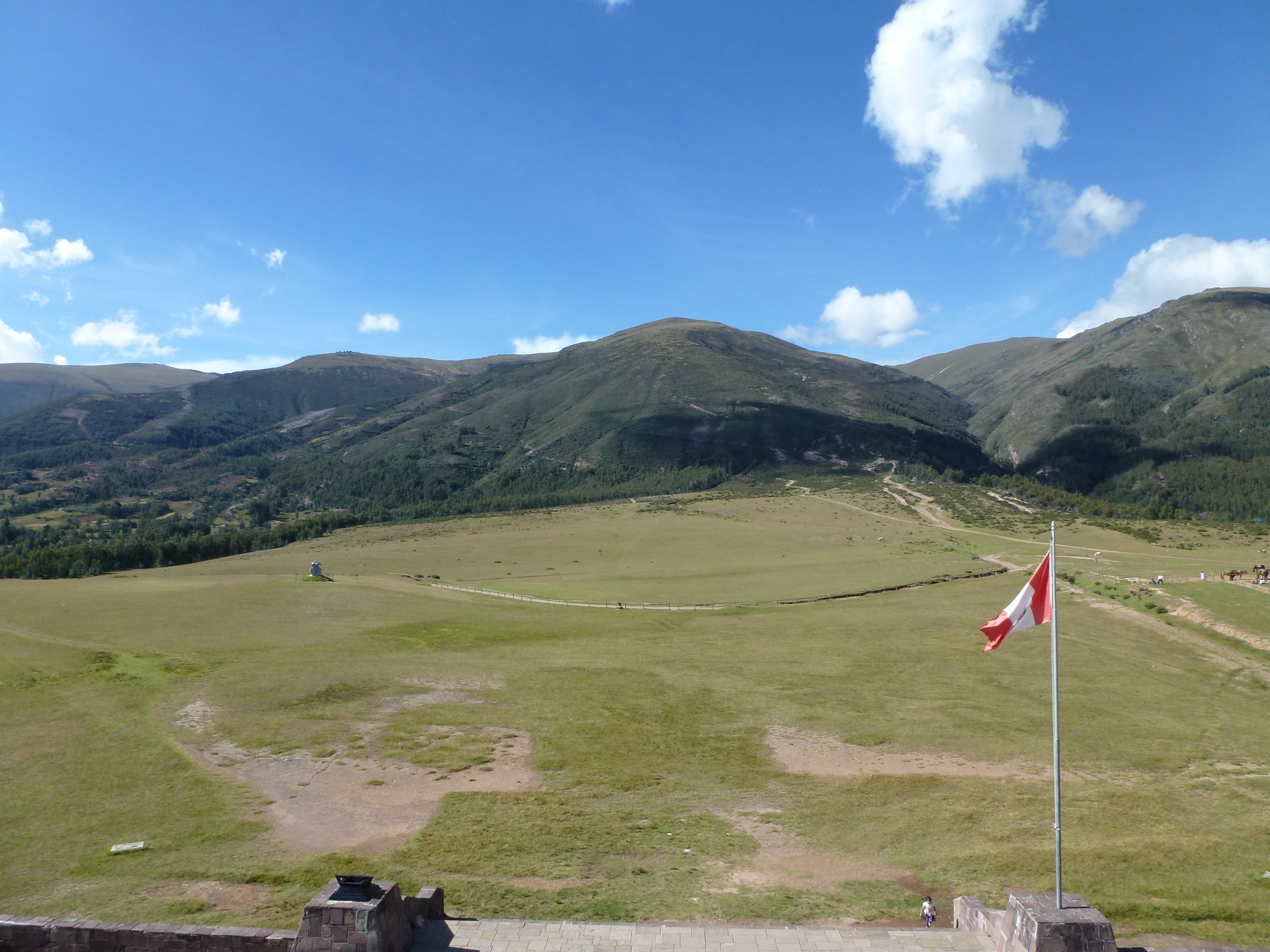
| Description | Lugar actual donde se llevo a cabo la Batalla de Ayacucho. | ||
| Date | |||
| Source | Flickr: Site of the Battle of Ayacucho where Peru finally won its independence. Near Quinua, Ayacucho, Peru | ||
| Author | Randal Sheppard | ||
| Permission (Reusing this file) |
This file is licensed under the Creative Commons Attribution-Share Alike 2.0 Generic license.
|
File history
Click on a date/time to view the file as it appeared at that time.
| Date/Time | Thumbnail | Dimensions | User | Comment | |
|---|---|---|---|---|---|
| current | 22:43, 27 June 2012 | | 4,320 × 3,240 (5.31 MB) | Flickr upload bot (talk | contribs) | Uploaded from http://flickr.com/photo/25222005@N08/7270980510 using Flickr upload bot |
You cannot overwrite this file.
File usage on Commons
There are no pages that use this file.
File usage on other wikis
The following other wikis use this file:
- Usage on de.wikipedia.org
- Usage on en.wikipedia.org
- Usage on fa.wikipedia.org
- Usage on fi.wikipedia.org
- Usage on qu.wikipedia.org
- Usage on www.wikidata.org