File:Luxapalila Creek Columbus Mississippi.jpg
跳转到导航
跳转到搜索
本预览的尺寸:404 × 599像素。 其他分辨率:162 × 240像素 | 323 × 480像素 | 1,011 × 1,500像素。
原始文件 (1,011 × 1,500像素,文件大小:1,017 KB,MIME类型:image/jpeg)
说明
说明
添加一行文字以描述该文件所表现的内容
| 描述 |
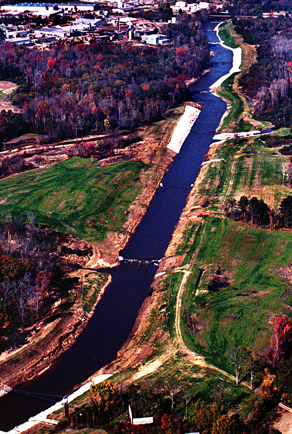
English: Aerial view of the Luxapalila Creek running through the center of Columbus, Mississippi, USA. Propst Park lies on the left side of the creek in this photograph. The Tuscaloosa Road bridge is visible at the top of the picture. The U.S. Army Corps of Engineers has constructed a flood-control project on the creek. View is upstream to the north. Note that the source photograph on the U.S. Army Corps of Engineers website has been erroneously placed in Milport, Alabama.
Coordinates: 33°30′6.57″N 88°23′32.45″W / 33.501825°N 88.3923472°W |
|||
| 图中地点 | Columbus, Mississippi, USA | |||
| 日期 | (Caveat: Dates provided by U.S. Army Corps of Engineers Digital Visual Library are not reliable and may be wrong.) | |||
| 来源 |
U.S. Army Corps of Engineers Digital Visual Library Image page Image description page Digital Visual Library home page |
|||
| 作者 | Adrien Lamarre, U.S. Army Corps of Engineers | |||
| 授权 (二次使用本文件) |
|
文件历史
点击某个日期/时间查看对应时刻的文件。
| 日期/时间 | 缩略图 | 大小 | 用户 | 备注 | |
|---|---|---|---|---|---|
| 当前 | 2007年4月29日 (日) 20:02 | | 1,011 × 1,500(1,017 KB) | DanMS(留言 | 贡献) | {{Information | Description = {{en|Aerial view of the Luxapalila Creek running through the center of Columbus, Mississippi, USA. Propst Park lies on the left side of the creek in this photograph. The Tuscaloosa Road bridge is visible at the top of the |
您不可以覆盖此文件。
文件用途
没有页面使用本文件。
全域文件用途
以下其他wiki使用此文件:
- en.wikipedia.org上的用途
- zh.wikipedia.org上的用途