File:Luxembourg adm location map.svg

Archivo original (archivo SVG, nominalmente 746 × 1032 píxeles, tamaño de archivo: 474 kB)
Leyendas
Leyendas
Resumen
[editar]| Descripción |
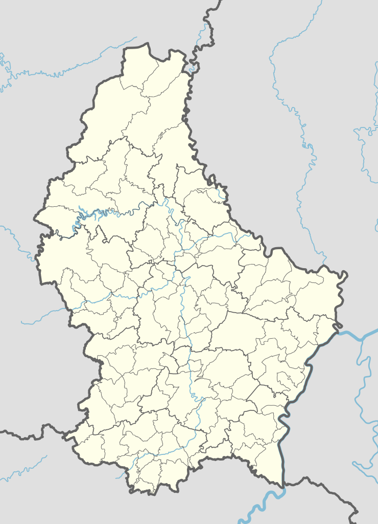
Deutsch: Positionskarte von Luxemburg
English: Location map of Luxembourg
|
||||||||||||
| Fecha | |||||||||||||
| Fuente |
Trabajo propio utilizando:
|
||||||||||||
| Autor | NordNordWest | ||||||||||||
| Otras versiones |
|
||||||||||||
_location_map.svg)
_location_map.svg)
Licencia
[editar]
Usage of this file with:

explanatory notes: Legally binding is only the full legalcode. For a free usage I recommend to respect the following licence conditions:
1. Provide my name as given above: NordNordWest,
2. a copy of, or the URI for, the applicable license: https://creativecommons.org/licenses/by-sa/3.0/de/legalcode,
3. the title of the work,
4. in the case of an adaptation, a credit identifying the use of the work in the adaptation.
This license and the rights granted hereunder will terminate automatically upon any breach by you of the terms of this license. Any of the above conditions can be waived if you get permission from the copyright holder. If you have questions or wish differing conditions, please contact me through nnwest or my discussion page ![]() t-online.de
t-online.de
- Eres libre:
- de compartir – de copiar, distribuir y transmitir el trabajo
- de remezclar – de adaptar el trabajo
- Bajo las siguientes condiciones:
- atribución – Debes otorgar el crédito correspondiente, proporcionar un enlace a la licencia e indicar si realizaste algún cambio. Puedes hacerlo de cualquier manera razonable pero no de manera que sugiera que el licenciante te respalda a ti o al uso que hagas del trabajo.
- compartir igual – En caso de mezclar, transformar o modificar este trabajo, deberás distribuir el trabajo resultante bajo la misma licencia o una compatible como el original.

Esta imagen es considerada imagen de calidad después de haber sido evaluada según la guía para imágenes de calidad.
|
Historial del archivo
Haz clic sobre una fecha y hora para ver el archivo tal como apareció en ese momento.
| Fecha y hora | Miniatura | Dimensiones | Usuario | Comentario | |
|---|---|---|---|---|---|
| actual | 16:09 10 sep 2023 | | 746 × 1032 (474 kB) | NordNordWest (discusión | contribs.) | upd 2023 |
| 10:28 8 ene 2018 |  | 746 × 1032 (476 kB) | NordNordWest (discusión | contribs.) | upd | |
| 09:06 2 nov 2015 |  | 746 × 1032 (481 kB) | NordNordWest (discusión | contribs.) | corr | |
| 17:20 1 nov 2015 |  | 746 × 1032 (481 kB) | NordNordWest (discusión | contribs.) | == {{int:filedesc}} == {{Information |Description= {{de|1=Positionskarte von Luxemburg}} {{en|1=Location map of Luxembourg}} {{Location map series N |stretching= – |top=50.25 |bottom=49.4 |left=5.65 |right=6.6 }} |Source={{Own using}} * United States... |
No puedes sobrescribir este archivo.
Usos del archivo
Las siguientes páginas usan este archivo:
- User:NordNordWest/Gallery/Location maps
- User:Zinneke/Nei Biller iwwer Lëtzebuerg/2018 January 1-10
- User:Zinneke/Nei Biller iwwer Lëtzebuerg/2023 September 1-10
- User talk:NordNordWest/Archive7
- Commons:Quality images/Subject/Non photographic media
- Commons:Quality images candidates/Archives November 25 2015
- File:Luxembourg, administrative divisions - th - colored.svg
- File:Luxembourg adm (2015–2017) location map.svg
- File:Luxembourg adm (2018–2023) location map.svg
- File:Luxembourg adm location map.svg
- File:Luxembourg location map - cantons.svg
Uso global del archivo
Las wikis siguientes utilizan este archivo:
- Uso en af.wikipedia.org
- Uso en an.wikipedia.org
- Uso en ar.wikipedia.org
- Uso en ast.wikipedia.org
- Tribunal de Xusticia de la Xunión Europea
- Luxemburgu (ciudá)
- Módulu:Mapa de llocalización/datos/Luxemburgu
- Bancu Européu d'Inversiones
- Hôtel de la Chambre
- Castiellu de Berg
- Palaciu Gran Ducal de Luxemburgu
- Módulu:Mapa de llocalización/datos/Luxemburgu/usu
- Aeropuertu de Luxemburgu Findel
- Aeródromu de Noertrange
- Uso en az.wikipedia.org
- Uso en bn.wikipedia.org
- Uso en ca.wikipedia.org
- Usuari:PereBot/cobertura/Luxemburg/ranking
- Usuari:PereBot/cobertura/Luxemburg/ca
- Usuari:PereBot/cobertura/Luxemburg/de
- Usuari:PereBot/cobertura/Luxemburg/en
- Usuari:PereBot/cobertura/Luxemburg/es
- Usuari:PereBot/cobertura/Luxemburg/fr
- Usuari:PereBot/cobertura/Luxemburg/it
- Usuari:PereBot/cobertura/Luxemburg/lb
- Usuari:PereBot/cobertura/Luxemburg/nl
- Usuari:PereBot/cobertura/Luxemburg/wa
- Mòdul:Location map/data/Luxemburg
- Mòdul:Location map/data/Luxemburg/ús
- Uso en crh.wikipedia.org
- Uso en de.wikipedia.org
Ver más uso global de este archivo.