File:M7 hwy near Lekarevo, Tatarstan.jpg
Jump to navigation
Jump to search

Size of this preview: 800 × 450 pixels. Other resolutions: 320 × 180 pixels | 640 × 360 pixels | 1,200 × 675 pixels.
Original file (1,200 × 675 pixels, file size: 424 KB, MIME type: image/jpeg)
Captions
Captions
Add a one-line explanation of what this file represents
Summary
[edit]
| Description |
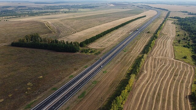
Français : L'autoroute fédérale M7 en 2x2 voies près de Lekarovo dans le Tatarstan, à travers une plaine |
| Date | |
| Source | https://trans.ru/news/k-stroitelnim-rabotam-na-i-etape-trassi-v-obhod-naberezhnih-chelnov-v-tatarstane-dolzhni-pristupit-s-1-oktyabr |
| Author | Rosavtodor |
| Camera location | | View this and other nearby images on: OpenStreetMap |
|---|
Licensing
[edit]

|
This file comes from the websites (rosavtodor.ru) of the Federal Road Agency of the Russian Federation (Rosavtodor) and is copyrighted.
This file is licenced under the Creative Commons Attribution 4.0 Licence. In short: you are free to distribute and modify the file as long as you attribute Rosavtodor.ru.
|
This file is licensed under the Creative Commons Attribution 4.0 International license.
Attribution: Rosavtodor.ru
- You are free:
- to share – to copy, distribute and transmit the work
- to remix – to adapt the work
- Under the following conditions:
- attribution – You must give appropriate credit, provide a link to the license, and indicate if changes were made. You may do so in any reasonable manner, but not in any way that suggests the licensor endorses you or your use.
File history
Click on a date/time to view the file as it appeared at that time.
| Date/Time | Thumbnail | Dimensions | User | Comment | |
|---|---|---|---|---|---|
| current | 18:56, 25 October 2022 | | 1,200 × 675 (424 KB) | Lillian Rínkū (talk | contribs) | Uploaded a work by Rosavtodor from https://trans.ru/news/k-stroitelnim-rabotam-na-i-etape-trassi-v-obhod-naberezhnih-chelnov-v-tatarstane-dolzhni-pristupit-s-1-oktyabr with UploadWizard |
You cannot overwrite this file.
File usage on Commons
There are no pages that use this file.