File:MESSENGER EN0108828359M.png
Aller à la navigation
Aller à la recherche
Taille de cet aperçu : 595 × 600 pixels. Autres résolutions : 238 × 240 pixels | 476 × 480 pixels | 1 016 × 1 024 pixels.
Fichier d’origine (1 016 × 1 024 pixels, taille du fichier : 692 kio, type MIME : image/png)
Légendes
Légendes
Ajoutez en une ligne la description de ce que représente ce fichier
Description
[modifier]
| Description |
Original caption:
|
| Date | |
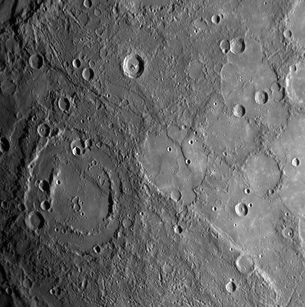
| Source | MESSENGER REVEALS MERCURY'S GEOLOGICAL HISTORY |
| Auteur | NASA/Johns Hopkins University Applied Physics Laboratory/Carnegie Institution of Washington |
Conditions d’utilisation
[modifier]
| Ce fichier provient de la NASA. Sauf exception, les documents créés par la NASA ne sont pas soumis à copyright. Pour plus d'informations, voir la politique de copyright de la NASA. | ||
 |
Attention :
|
Historique du fichier
Cliquer sur une date et heure pour voir le fichier tel qu'il était à ce moment-là.
| Date et heure | Vignette | Dimensions | Utilisateur | Commentaire | |
|---|---|---|---|---|---|
| actuel | 10 février 2020 à 16:01 | | 1 016 × 1 024 (692 kio) | SteinsplitterBot (d | contributions) | Bot: Image rotated by 180° |
| 17 janvier 2008 à 22:00 |  | 1 016 × 1 024 (691 kio) | Zginder (d | contributions) | {{Information |Description=One of the photos released after the first flyby. |Source=http://messenger.jhuapl.edu/gallery/sciencePhotos/pics/EN0108828359M.png |Date= |Author= |Permission= |other_versions= }} |
Vous ne pouvez pas remplacer ce fichier.
Utilisations locales du fichier
La page suivante utilise ce fichier :
Utilisations du fichier sur d’autres wikis
Les autres wikis suivants utilisent ce fichier :
- Utilisation sur af.wikipedia.org
- Utilisation sur ar.wikipedia.org
- Utilisation sur az.wikipedia.org
- Utilisation sur bg.wikipedia.org
- Utilisation sur bn.wikipedia.org
- Utilisation sur en.wikipedia.org
- Utilisation sur en.wikibooks.org
- Utilisation sur en.wikiquote.org
- Utilisation sur es.wikipedia.org
- Utilisation sur fr.wikipedia.org
- Utilisation sur gu.wikipedia.org
- Utilisation sur he.wikipedia.org
- Utilisation sur ko.wikibooks.org
- Utilisation sur mk.wikipedia.org
- Utilisation sur ml.wikipedia.org
- Utilisation sur ro.wikipedia.org
- Utilisation sur ta.wikipedia.org
- Utilisation sur tr.wikipedia.org
- Utilisation sur zh.wikipedia.org