File:MP Dhar district map.svg
Jump to navigation
Jump to search

Size of this PNG preview of this SVG file: 800 × 519 pixels. Other resolutions: 320 × 208 pixels | 640 × 415 pixels | 1,024 × 664 pixels | 1,280 × 830 pixels | 2,560 × 1,661 pixels | 1,381 × 896 pixels.
Original file (SVG file, nominally 1,381 × 896 pixels, file size: 1.16 MB)
Captions
Captions
Add a one-line explanation of what this file represents
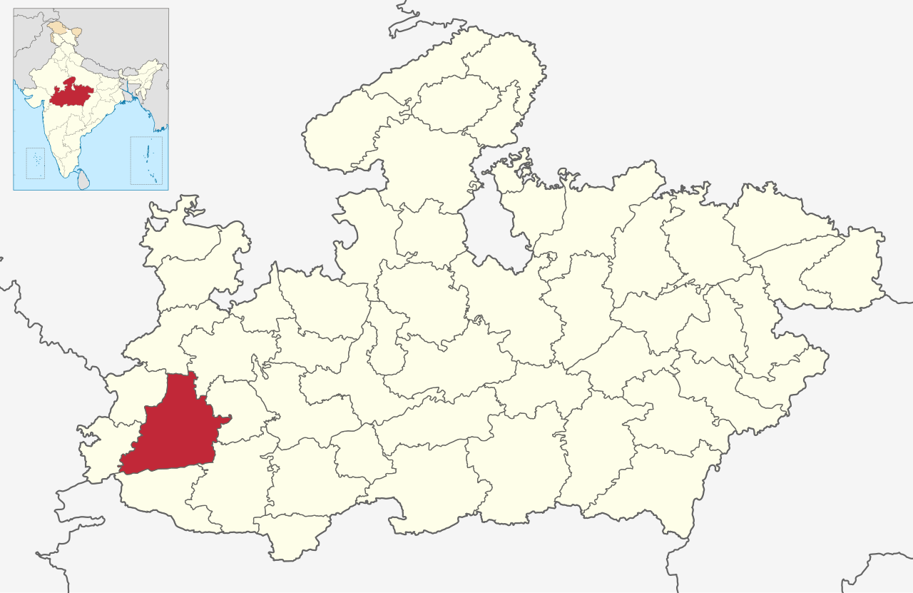
| Description | MP district map |
| Date | |
| Source | Madhya Pradesh location map.svg |
| Author | Own work |
| Permission (Reusing this file) |
This file is licensed under the Creative Commons Attribution 4.0 International license.
|
File history
Click on a date/time to view the file as it appeared at that time.
| Date/Time | Thumbnail | Dimensions | User | Comment | |
|---|---|---|---|---|---|
| current | 03:10, 21 May 2021 | | 1,381 × 896 (1.16 MB) | C1MM (talk | contribs) | c bounds |
| 22:22, 14 February 2021 |  | 1,829 × 1,187 (1.31 MB) | C1MM (talk | contribs) | c and bounds | |
| 17:52, 13 February 2021 |  | 1,829 × 1,187 (1.31 MB) | C1MM (talk | contribs) | Updated boundaries | |
| 21:51, 21 May 2020 |  | 1,829 × 1,187 (1.04 MB) | C1MM (talk | contribs) | {{Information|Description=MP district map|Source=Madhya Pradesh location map.svg|Date=21 May 2020|Author=Own work|Permission={{Cc-by-4.0}}}}Category:Maps of Madhya Pradesh |
You cannot overwrite this file.
File usage on Commons
The following 3 pages use this file:
File usage on other wikis
The following other wikis use this file:
- Usage on ar.wikipedia.org
- Usage on arz.wikipedia.org
- Usage on ca.wikipedia.org
- Usage on de.wikipedia.org
- Usage on en.wikipedia.org
- Usage on es.wikipedia.org
- Usage on eu.wikipedia.org
- Usage on fa.wikipedia.org
- Usage on fr.wikipedia.org
- Usage on hi.wikipedia.org
- Usage on nl.wikipedia.org
- Usage on no.wikipedia.org
- Usage on ru.wikipedia.org
- Usage on sat.wikipedia.org
- Usage on sa.wikipedia.org
- Usage on ta.wikipedia.org
- Usage on te.wikipedia.org
- Usage on uk.wikipedia.org
- Usage on ur.wikipedia.org
- Usage on vi.wikipedia.org
- Usage on www.wikidata.org