File:Magny (Alsace), Mairie.jpg
跳至導覽
跳至搜尋

預覽大小:800 × 576 像素。 其他解析度:320 × 230 像素 | 640 × 461 像素 | 1,024 × 737 像素 | 1,280 × 921 像素 | 2,672 × 1,923 像素。
原始檔案 (2,672 × 1,923 像素,檔案大小:874 KB,MIME 類型:image/jpeg)
說明
說明
添加單行說明來描述出檔案所代表的內容
| 描述 |
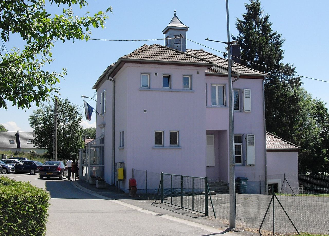
Français : La mairie et l'ancienne école de Magny Deutsch: Rathaus und ehemalige Grundschule der Gemeinde Magny |
| 日期 | |
| 來源 | 自行拍攝 |
| 作者 | Rauenstein |
| 授權許可 (重用此檔案) |
此檔案採用共享創意 姓名標示-相同方式分享 3.0 未在地化版本授權條款。
|
| 目標地點 | | 位於此地的本圖片與其他圖片: OpenStreetMap |
|---|
,_Mairie.jpg¶ms=047.603458_N_0007.054786_E_globe:Earth_class:object_type:object__&language=zh-mo)
|
This building is indexed in the base Mérimée, a database of architectural heritage maintained by the French Ministry of Culture, under the reference IA68006665
|
檔案歷史
點選日期/時間以檢視該時間的檔案版本。
| 日期/時間 | 縮圖 | 尺寸 | 用戶 | 備註 | |
|---|---|---|---|---|---|
| 目前 | 2010年6月20日 (日) 00:23 | | 2,672 × 1,923(874 KB) | Rauenstein(對話 | 貢獻) | {{Information |Description={{fr|La mairie de Magny}} {{de|Rathaus in Magny}} |Source=own photograph |Date=2010-05-23 |Author=Rauenstein |Permission={{cc-by-sa-3.0}} |other_versions= } |
無法覆蓋此檔案。
檔案用途
下列3個頁面有用到此檔案:
全域檔案使用狀況
以下其他 wiki 使用了這個檔案:
- als.wikipedia.org 的使用狀況
- ca.wikipedia.org 的使用狀況
- ceb.wikipedia.org 的使用狀況
- ce.wikipedia.org 的使用狀況
- de.wikipedia.org 的使用狀況
- diq.wikipedia.org 的使用狀況
- en.wikipedia.org 的使用狀況
- eo.wikipedia.org 的使用狀況
- es.wikipedia.org 的使用狀況
- eu.wikipedia.org 的使用狀況
- fr.wikipedia.org 的使用狀況
- hu.wikipedia.org 的使用狀況
- it.wikipedia.org 的使用狀況
- la.wikipedia.org 的使用狀況
- ms.wikipedia.org 的使用狀況
- nl.wikipedia.org 的使用狀況
- oc.wikipedia.org 的使用狀況
- pfl.wikipedia.org 的使用狀況
- pl.wikipedia.org 的使用狀況
- pt.wikipedia.org 的使用狀況
- ro.wikipedia.org 的使用狀況
- ru.wikipedia.org 的使用狀況
- sk.wikipedia.org 的使用狀況
- sv.wikipedia.org 的使用狀況
- tt.wikipedia.org 的使用狀況
- uk.wikipedia.org 的使用狀況
- uz.wikipedia.org 的使用狀況
- vec.wikipedia.org 的使用狀況
- www.wikidata.org 的使用狀況
- zh-min-nan.wikipedia.org 的使用狀況
- zh.wikipedia.org 的使用狀況
,_Mairie.jpg&oldid=686388398)