File:Maine-et-Loire administrative map-canton champtoceaux.svg
Jump to navigation
Jump to search

Size of this PNG preview of this SVG file: 767 × 600 pixels. Other resolutions: 307 × 240 pixels | 614 × 480 pixels | 982 × 768 pixels | 1,280 × 1,001 pixels | 2,560 × 2,002 pixels | 1,197 × 936 pixels.
Original file (SVG file, nominally 1,197 × 936 pixels, file size: 419 KB)
Captions
Captions
Add a one-line explanation of what this file represents
Summary[edit]
| Description |
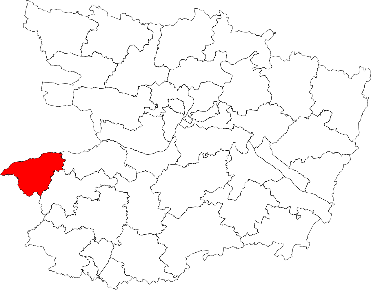
Français : Administrative map of the French department of Maine-et-Loire. Canton de Champtoceaux |
| Date | |
| Source |
This file was derived from: Maine-et-Loire administrative map-blank.svg |
| Author |
Licensing[edit]
I, the copyright holder of this work, hereby publish it under the following licenses:
| Copyleft: This work of art is free; you can redistribute it and/or modify it according to terms of the Free Art License. You will find a specimen of this license on the Copyleft Attitude site as well as on other sites. |
This file is licensed under the Creative Commons Attribution-Share Alike 4.0 International, 3.0 Unported, 2.5 Generic, 2.0 Generic and 1.0 Generic license.
- You are free:
- to share – to copy, distribute and transmit the work
- to remix – to adapt the work
- Under the following conditions:
- attribution – You must give appropriate credit, provide a link to the license, and indicate if changes were made. You may do so in any reasonable manner, but not in any way that suggests the licensor endorses you or your use.
- share alike – If you remix, transform, or build upon the material, you must distribute your contributions under the same or compatible license as the original.
You may select the license of your choice.
File history
Click on a date/time to view the file as it appeared at that time.
| Date/Time | Thumbnail | Dimensions | User | Comment | |
|---|---|---|---|---|---|
| current | 06:25, 8 April 2012 | | 1,197 × 936 (419 KB) | Franck-fnba (talk | contribs) |
You cannot overwrite this file.
File usage
There are no pages that use this file.
Global file usage
The following other wikis use this file:
- Usage on es.wikipedia.org
- Usage on fr.wikipedia.org