File:Manchester-Canal Street-Gay Village map.png
跳至導覽
跳至搜尋
預覽大小:551 × 599 像素。 其他解析度:221 × 240 像素 | 441 × 480 像素 | 706 × 768 像素 | 1,078 × 1,172 像素。
原始檔案 (1,078 × 1,172 像素,檔案大小:475 KB,MIME 類型:image/png)
說明
說明
添加單行說明來描述出檔案所代表的內容
摘要
[編輯]
| 描述 |
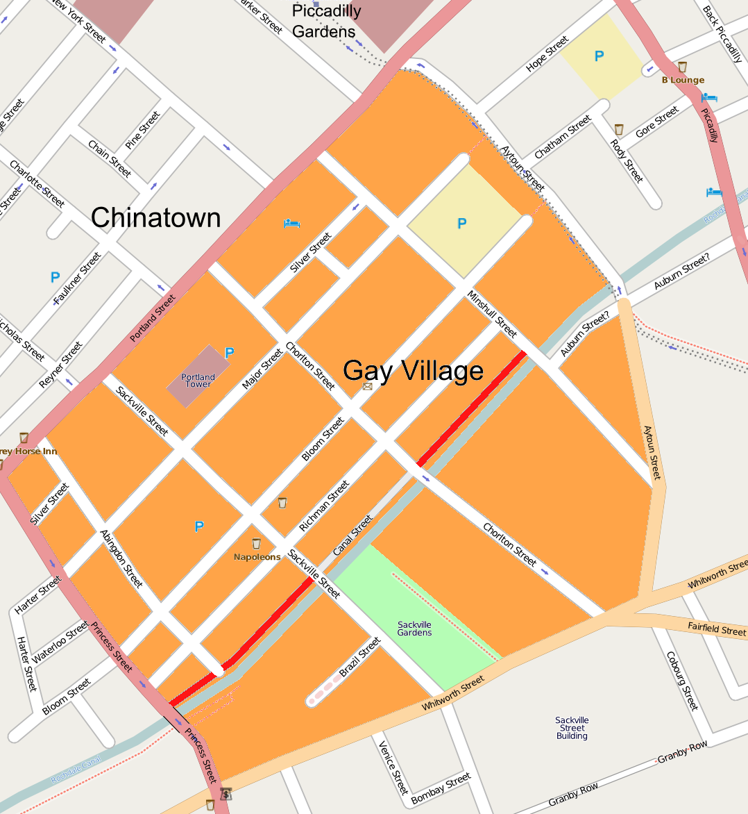
English: Canal Street with the Gay Village in Manchester; Border Source |
| 日期 | |
| 來源 | Openstreetmap |
| 作者 | Openstreetmap & User:Fg68at |
授權條款
[編輯]
此檔案採用共享創意 姓名標示-相同方式分享 3.0 未在地化版本授權條款。
- 您可以自由:
- 分享 – 複製、發佈和傳播本作品
- 重新修改 – 創作演繹作品
- 惟需遵照下列條件:
- 姓名標示 – 您必須指名出正確的製作者,和提供授權條款的連結,以及表示是否有對內容上做出變更。您可以用任何合理的方式來行動,但不得以任何方式表明授權條款是對您許可或是由您所使用。
- 相同方式分享 – 如果您利用本素材進行再混合、轉換或創作,您必須基於如同原先的相同或兼容的條款,來分布您的貢獻成品。
檔案歷史
點選日期/時間以檢視該時間的檔案版本。
| 日期/時間 | 縮圖 | 尺寸 | 用戶 | 備註 | |
|---|---|---|---|---|---|
| 目前 | 2009年5月24日 (日) 10:55 | | 1,078 × 1,172(475 KB) | Fg68at(對話 | 貢獻) | {{Information |Description={{de|1=Canal Street with the Gay Village in Manchester}} |Source=Openstreetmap |Author=[http://www.openstreetmap.org/?lat=53.47824&lon=-2.23563&zoom=17&layers=B000FTF Openstreetmap] & User:Fg68at |Date=2009-05-24 |Permission |
無法覆蓋此檔案。
檔案用途
下列頁面有用到此檔案:
全域檔案使用狀況
以下其他 wiki 使用了這個檔案:
- en.wikipedia.org 的使用狀況
- pl.wikipedia.org 的使用狀況
- zh.wikipedia.org 的使用狀況