File:Manteo, Roanoke Island, North Carolina (14273897109).jpg
Original file (4,000 × 3,000 pixels, file size: 4.01 MB, MIME type: image/jpeg)
Captions
Captions
Summary
[edit].jpg&action=edit§ion=1)
| Description |
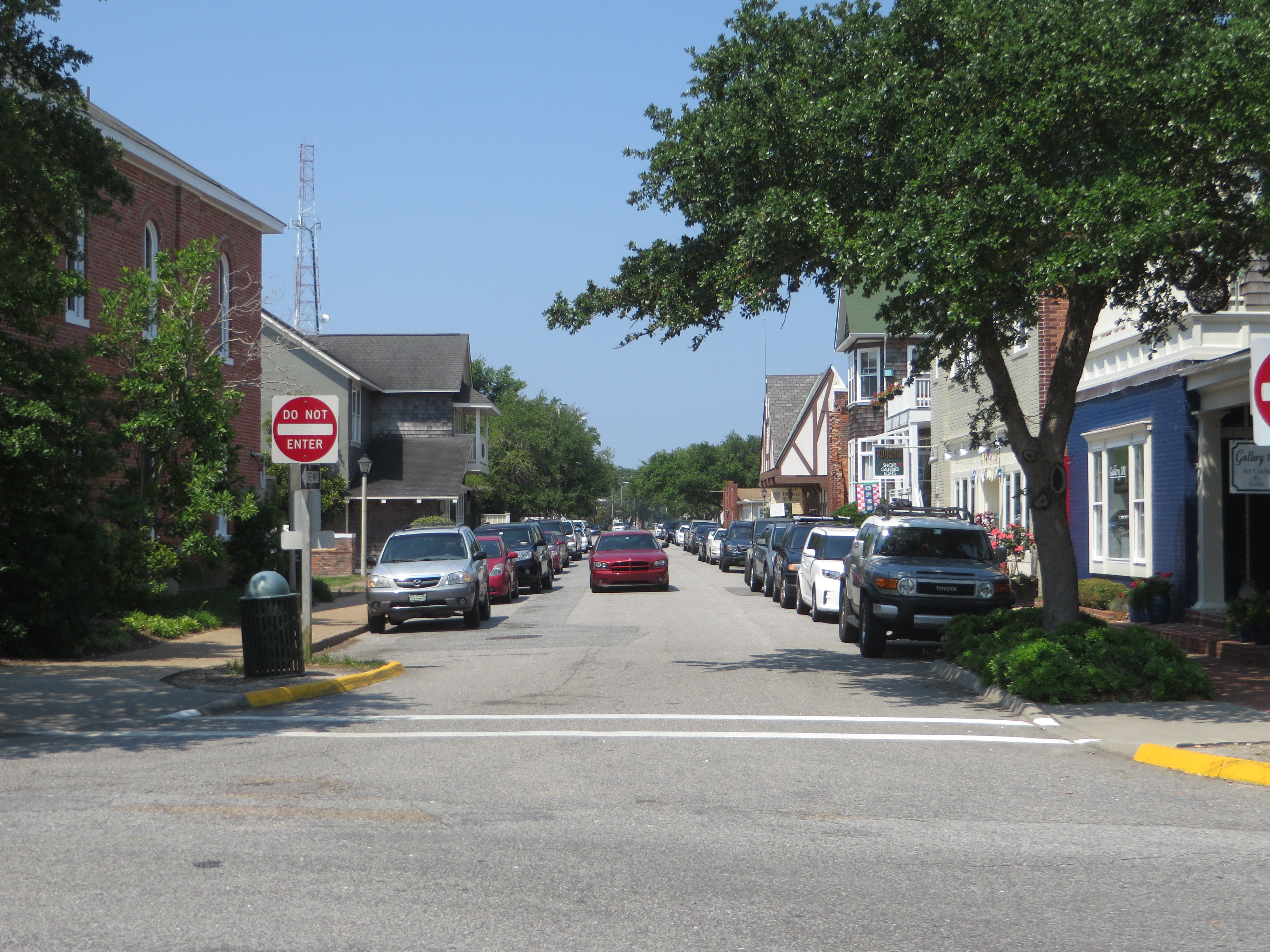
Manteo is a town in Dare County, North Carolina, United States, located on Roanoke Island. The population was 1,434 at the 2010 census. It is the county seat of Dare County. The town is named for an American Indian named Manteo, who was of the Croatans tribe of American Indians. Manteo had been "civilized" by the English during a trip to London in 1584 where he and another Indian, Wanchese, learned to become the liaisons between the Roanoke Colony settlers and the Indians, and had favorable interaction with British colonist John White. In fact, Manteo was christened and given the name Lord of Roanoke, making him the first American Indian to receive a title of nobility. Eventually, John White's daughter Eleanor married Ananias Dare, and they had the first American-born English child, Virginia Dare. In 1587, Manteo was friendly to White when he returned to find what the final stage of the Roanoke Colony became. When the colonists disappeared after supplies from England were delayed for three years, the ongoing mystery of "The Lost Colony" began. The "Lost" colony was established by Richard Grenville, who brought back two Indians, one of them Manteo. Manteo was named the seat of government for Dare County in 1870, and was incorporated in 1899. Dare County is named for Virginia Dare. <a href="http://en.wikipedia.org/wiki/Manteo,_North_Carolina" rel="nofollow">en.wikipedia.org/wiki/Manteo,_North_Carolina</a> <a href="http://en.wikipedia.org/wiki/Wikipedia:Text_of_Creative_Commons_Attribution-ShareAlike_3.0_Unported_License" rel="nofollow">en.wikipedia.org/wiki/Wikipedia:Text_of_Creative_Commons_...</a> |
| Date | |
| Source | Manteo, Roanoke Island, North Carolina |
| Author | Ken Lund from Reno, Nevada, USA |
| Camera location | | View this and other nearby images on: OpenStreetMap |
|---|
.jpg¶ms=035.910172_N_-075.669509_E_globe:Earth_type:camera_source:Flickr_&language=en)
Licensing
[edit].jpg&action=edit§ion=2)
- You are free:
- to share – to copy, distribute and transmit the work
- to remix – to adapt the work
- Under the following conditions:
- attribution – You must give appropriate credit, provide a link to the license, and indicate if changes were made. You may do so in any reasonable manner, but not in any way that suggests the licensor endorses you or your use.
- share alike – If you remix, transform, or build upon the material, you must distribute your contributions under the same or compatible license as the original.
| This image was originally posted to Flickr by Ken Lund at https://flickr.com/photos/75683070@N00/14273897109 (archive). It was reviewed on 11 February 2020 by FlickreviewR 2 and was confirmed to be licensed under the terms of the cc-by-sa-2.0. |
File history
Click on a date/time to view the file as it appeared at that time.
| Date/Time | Thumbnail | Dimensions | User | Comment | |
|---|---|---|---|---|---|
| current | 02:30, 11 February 2020 | | 4,000 × 3,000 (4.01 MB) | Ser Amantio di Nicolao (talk | contribs) | Transferred from Flickr via #flickr2commons |
You cannot overwrite this file.
File usage on Commons
There are no pages that use this file.
.jpg&oldid=728132492)